
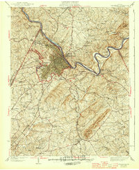
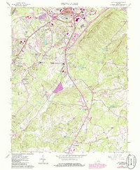
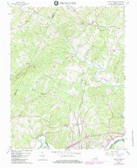
1944 Map of Lynchburg
USGS Topo · Published 1944This historical map portrays the area of Lynchburg in 1944, primarily covering Campbell County as well as portions of Appomattox County, Amherst County, and Bedford County. Featuring a scale of 1:62500, this map provides a highly detailed snapshot of the terrain, roads, buildings, counties, and historical landmarks in the Lynchburg region at the time. Published in 1944, it is one of 3 known editions of this map due to revisions or reprints.
Find a feature on this map
89 named features on this map. Tap any name to fly to it.
Don’t see what you’re looking for? This feature index may not catch every label — zoom into the map to look around manually.
Map Details
Editions of this 1944 Lynchburg Map
Historical Maps of Oxford Furnace Through Time
10 maps found
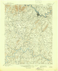
1892 Lynchburg
Campbell County, VA
1944 Lynchburg
Campbell County, VA

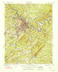
1950 Lynchburg
Campbell County, VA
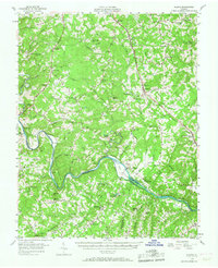
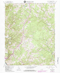
1956 Gladys
Campbell County, VA
1963 City Farm
Campbell County, VA
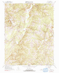
1966 Castle Craig
Campbell County, VA
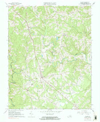
1966 Gladys
Campbell County, VA
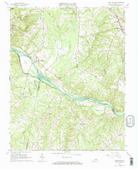
1966 Long Island
Campbell County, VA
1966 Lynch Station
Campbell County, VA
1966 Mike
Campbell County, VA