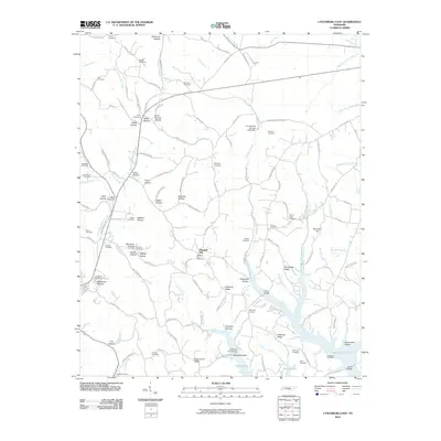
2010 Map of Lynchburg East
USGS Topo · Published 2010About this map
Pleasant Hill and the surrounding Moore County landscape are defined by a complex network of hollows and ridges that feed into the Elk River watershed. To the north, the terrain is deeply dissected by drainages like East Fork Mulberry Creek and Thompson Creek, which are lined with numerous family cemeteries including Bryant Cemetery, Russell Cemetery, and the Hix Cemetery. This 2010 topographic record captures the area just south of Tullahoma, where the topography drops into the broad basin of Murray Lake.
Find a feature on this map
130 named features on this map. Tap any name to fly to it.
Don’t see what you’re looking for? This feature index may not catch every label — zoom into the map to look around manually.
Map Details
Editions of this 2010 Lynchburg East Map
This is the sole edition of this map. No revisions or reprints were ever made.
Other maps of this area

1928 · Decherd
USGS Topo · 1:62,500

1936 · Ovoca
USGS Topo · 1:24,000

1936 · Booneville
USGS Topo · 1:24,000

1936 · Shelbyville
USGS Topo · 1:24,000

1936 · Cumberland Springs
USGS Topo · 1:24,000

1936 · Belvidere
USGS Topo · 1:24,000

1936 · Mulberry
USGS Topo · 1:24,000

1936 · Camp Peay
USGS Topo · 1:24,000

1936 · Normandy
USGS Topo · 1:24,000

1936 · Lois
USGS Topo · 1:24,000