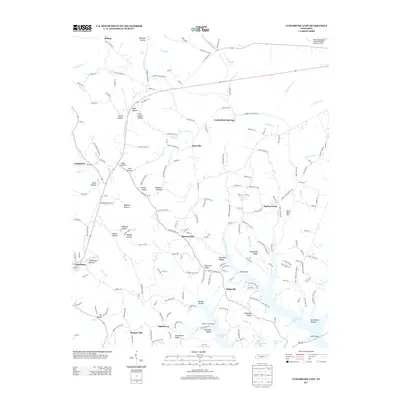
2013 Map of Lynchburg East
USGS Topo · Published 2013About this map
Lynchburg and the surrounding Tennessee foothills are defined by a complex landscape of ridges and hollows that historically shaped the region's agricultural and industrial patterns. The eastern outskirts of the town lead toward the expansive waters of Tims Ford Lake, where Sanders Causeway and Cooper Br provide vital crossings over the submerged topography. The area is dotted with small, localized settlements such as Turkey Creek, Raysville, and Bakertown, many associated with specific family names and distinct terrain features like Possumtrot Ridge and Stillhouse Hollow.
Find a feature on this map
200 named features on this map. Tap any name to fly to it.
Don’t see what you’re looking for? This feature index may not catch every label — zoom into the map to look around manually.
Map Details
Editions of this 2013 Lynchburg East Map
This is the sole edition of this map. No revisions or reprints were ever made.
Other maps of this area

1928 · Decherd
USGS Topo · 1:62,500

1936 · Ovoca
USGS Topo · 1:24,000

1936 · Booneville
USGS Topo · 1:24,000

1936 · Shelbyville
USGS Topo · 1:24,000

1936 · Cumberland Springs
USGS Topo · 1:24,000

1936 · Belvidere
USGS Topo · 1:24,000

1936 · Mulberry
USGS Topo · 1:24,000

1936 · Camp Peay
USGS Topo · 1:24,000

1936 · Normandy
USGS Topo · 1:24,000

1936 · Lois
USGS Topo · 1:24,000