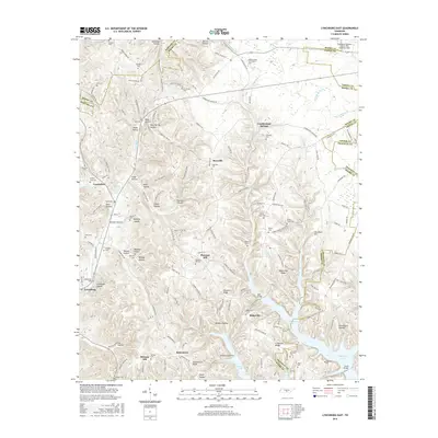
2016 Map of Lynchburg East
USGS Topo · Published 2016About this map
Motlow State Community Coll and the Tullahoma Regional Airport anchor the northern landscape of this region, where the borders of Moore, Coffee, Franklin, and Bedford counties converge. The terrain is defined by a dense network of hollows—such as Wiseman Hollow, Bobo Hollow, and Millsap Hollow—that channel water toward the significant basin of Tims Ford Lake in the southeast. This reservoir has reshaped the local geography, visible here with Sanders Causeway and the Awalt Bridge crossing its various branches like Cooper Br and Turkey Cr.
Find a feature on this map
173 named features on this map. Tap any name to fly to it.
Don’t see what you’re looking for? This feature index may not catch every label — zoom into the map to look around manually.
Map Details
Editions of this 2016 Lynchburg East Map
This is the sole edition of this map. No revisions or reprints were ever made.
Other maps of this area

1928 · Decherd
USGS Topo · 1:62,500

1936 · Ovoca
USGS Topo · 1:24,000

1936 · Booneville
USGS Topo · 1:24,000

1936 · Shelbyville
USGS Topo · 1:24,000

1936 · Cumberland Springs
USGS Topo · 1:24,000

1936 · Belvidere
USGS Topo · 1:24,000

1936 · Mulberry
USGS Topo · 1:24,000

1936 · Camp Peay
USGS Topo · 1:24,000

1936 · Normandy
USGS Topo · 1:24,000

1936 · Lois
USGS Topo · 1:24,000