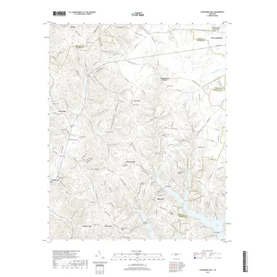
2019 Map of Lynchburg East
USGS Topo · Published 2019About this map
Tullahoma and its surrounding rural communities are captured here at the intersection of Coffee, Moore, Bedford, and Franklin counties. The landscape is defined by a dense network of hollows, such as Stillhouse Hollow, Wanslow Hollow, and Bobo Hollow, which speak to the area's agricultural and local heritage. In the south, the waters of Tims Ford Lake reach into the terrain, crossed by Sanders Causeway and Neal Bridge.
Find a feature on this map
160 named features on this map. Tap any name to fly to it.
Don’t see what you’re looking for? This feature index may not catch every label — zoom into the map to look around manually.
Map Details
Editions of this 2019 Lynchburg East Map
This is the sole edition of this map. No revisions or reprints were ever made.
Other maps of this area

1928 · Decherd
USGS Topo · 1:62,500

1936 · Ovoca
USGS Topo · 1:24,000

1936 · Booneville
USGS Topo · 1:24,000

1936 · Shelbyville
USGS Topo · 1:24,000

1936 · Cumberland Springs
USGS Topo · 1:24,000

1936 · Belvidere
USGS Topo · 1:24,000

1936 · Mulberry
USGS Topo · 1:24,000

1936 · Camp Peay
USGS Topo · 1:24,000

1936 · Normandy
USGS Topo · 1:24,000

1936 · Lois
USGS Topo · 1:24,000