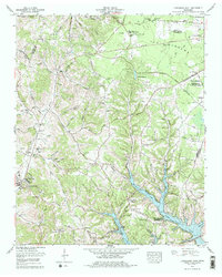
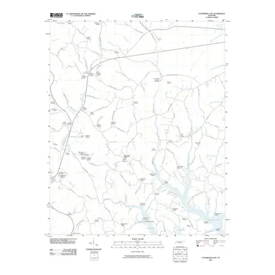
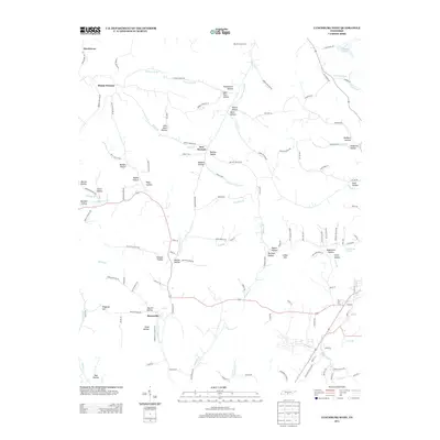
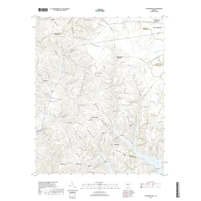
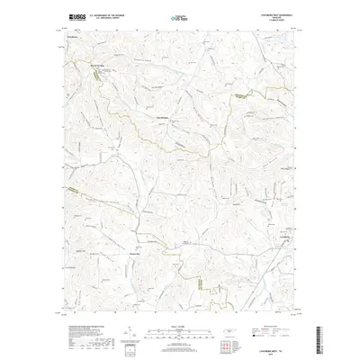
1978 Map of Lynchburg East
USGS Topo · Published 1978About this map
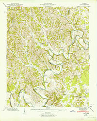
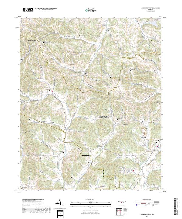
Lynchburg serves as the focal point of this Tennessee landscape, where the town’s character is defined by the steep hollows and ridges characteristic of Moore County. The 1970s terrain is heavily marked by the expansion of Tims Ford Lake to the southeast, which altered the local drainage patterns of Hurricane Creek and Lost Creek. This era also reflects the educational and civic growth of the region, anchored by Motlow State Community College and Moore County High Sch.
Find a feature on this map
93 named features on this map. Tap any name to fly to it.
Don’t see what you’re looking for? This feature index may not catch every label — zoom into the map to look around manually.
Map Details
Editions of this 1978 Lynchburg East Map
This is the sole edition of this map. No revisions or reprints were ever made.
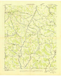
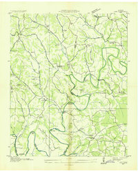
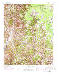
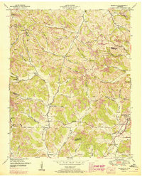
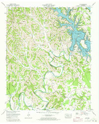
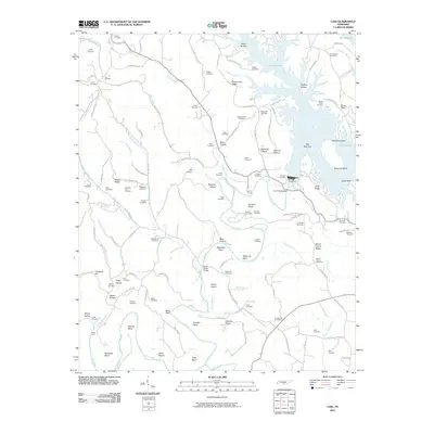
Historical Maps of Tullahoma Through Time
24 maps found
1936 Booneville
Moore County, TN

1936 Cumberland Springs
Moore County, TN
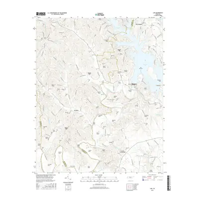
1936 Lois
Moore County, TN
1941 Cumberland Springs
Moore County, TN
1947 Lois
Moore County, TN

1949 Lynchburg West
Moore County, TN
1951 Booneville
Moore County, TN
1972 Lois
Moore County, TN
1978 Lynchburg East
Moore County, TN
2010 Lois
Moore County, TN
2010 Lynchburg East
Moore County, TN
2010 Lynchburg West
Moore County, TN
2013 Lois
Moore County, TN
2013 Lynchburg East
Moore County, TN
2013 Lynchburg West
Moore County, TN
2016 Lois
Moore County, TN
2016 Lynchburg East
Moore County, TN
2016 Lynchburg West
Moore County, TN
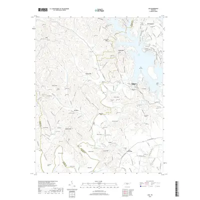
2019 Lois
Moore County, TN
2019 Lynchburg East
Moore County, TN
2019 Lynchburg West
Moore County, TN
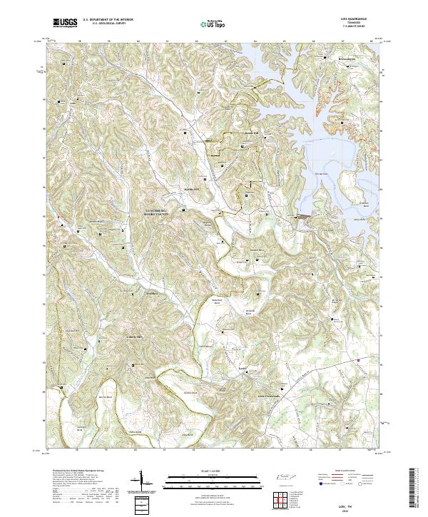
2022 Lois
Moore County, TN

2022 Lynchburg East
Moore County, TN
2022 Lynchburg West
Moore County, TN