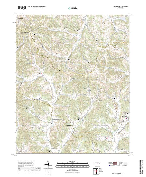
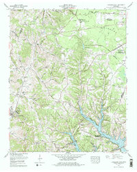
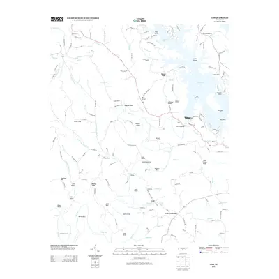
2022 Map of Lynchburg West
USGS Topo · Published 2022About this map
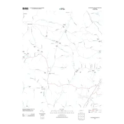
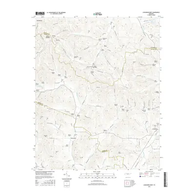
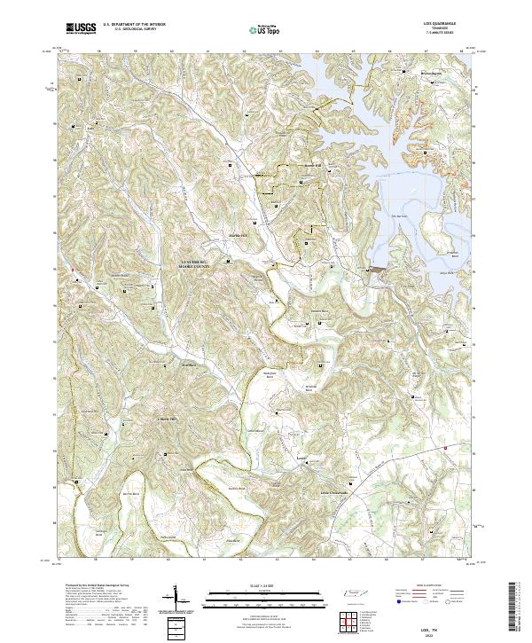
Mount Herman and its neighbor New Herman sit amidst a complex network of hollows and ridges in this portion of Moore County, Tennessee. The landscape is defined by the sharp relief of Warren Hollow, McNatt Hollow, and Possumtrot Hollow, where small settlements and family farms have long established their roots. The drainage pattern of the W Fork Mulberry Cr and its tributaries like Charity Cr and Spankem Br dictates the winding paths of rural roads like Lynchburg Rd and Howard Martin Rd.
Find a feature on this map
113 named features on this map. Tap any name to fly to it.
Don’t see what you’re looking for? This feature index may not catch every label — zoom into the map to look around manually.
Map Details
Editions of this 2022 Lynchburg West Map
This is the sole edition of this map. No revisions or reprints were ever made.
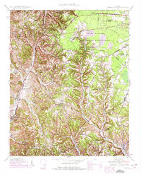
Historical Maps of Hawthorne Through Time
24 maps found
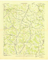
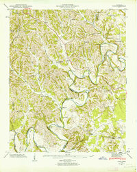
1936 Booneville
Moore County, TN

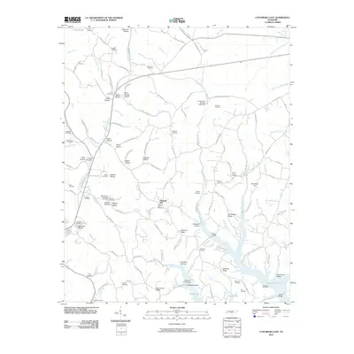
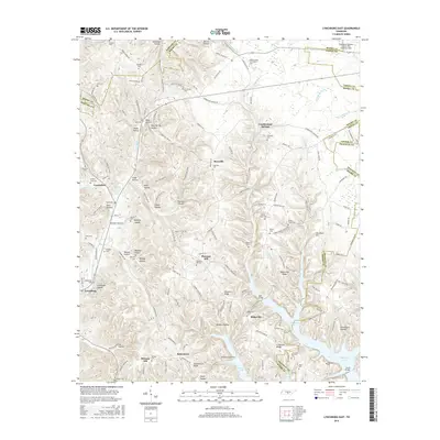
1936 Cumberland Springs
Moore County, TN
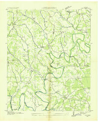
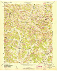
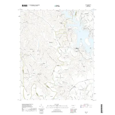
1936 Lois
Moore County, TN
1941 Cumberland Springs
Moore County, TN
1947 Lois
Moore County, TN

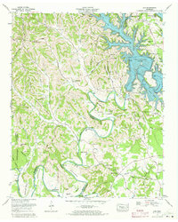
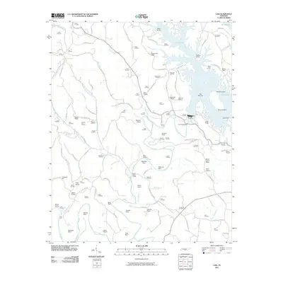
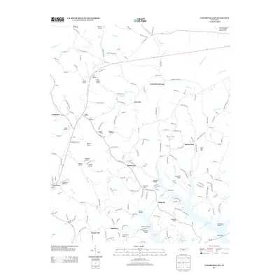
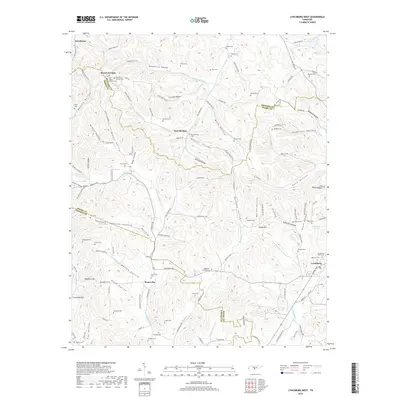
1949 Lynchburg West
Moore County, TN
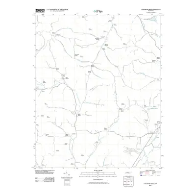
1951 Booneville
Moore County, TN
1972 Lois
Moore County, TN
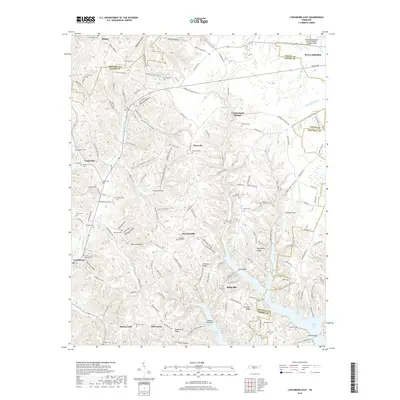
1978 Lynchburg East
Moore County, TN
2010 Lois
Moore County, TN
2010 Lynchburg East
Moore County, TN
2010 Lynchburg West
Moore County, TN
2013 Lois
Moore County, TN
2013 Lynchburg East
Moore County, TN
2013 Lynchburg West
Moore County, TN
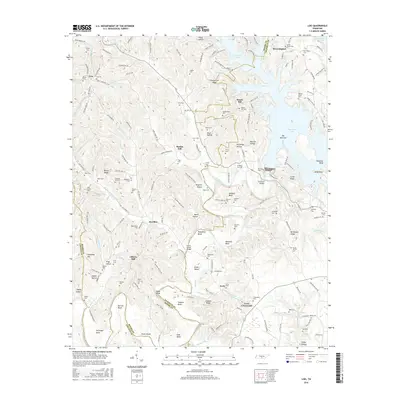
2016 Lois
Moore County, TN
2016 Lynchburg East
Moore County, TN
2016 Lynchburg West
Moore County, TN
2019 Lois
Moore County, TN
2019 Lynchburg East
Moore County, TN
2019 Lynchburg West
Moore County, TN
2022 Lois
Moore County, TN

2022 Lynchburg East
Moore County, TN
2022 Lynchburg West
Moore County, TN