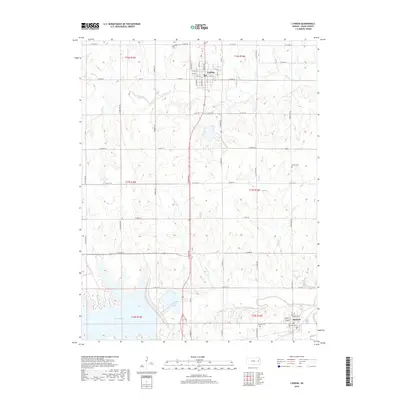
2018 Map of Lyndon
USGS Topo · Published 2018About this map
Lyndon serves as the primary hub of this eastern Kansas landscape, situated at the intersection of a grid-like network of rural roads such as Topeka Ave and W 253rd St. The terrain is defined by the significant hydrological system of the Marais des Cygnes River, which feeds into the eastern reaches of Melvern Lake. This area shows a typical midwestern transition from concentrated town centers to wide-reaching agricultural sections, marked by numerous small tributaries like Chicken Cr and Salt Cr. Local history is preserved in several rural burial grounds, including the Lyndon Cem and the Danish Cem, while the southern settlement of Melvern sits near the riverbanks. The map illustrates the 21st-century footprint of Osage County, where the managed waters of the river system dominate the local geography.
Find a feature on this map
55 named features on this map. Tap any name to fly to it.
Don’t see what you’re looking for? This feature index may not catch every label — zoom into the map to look around manually.
Map Details
Editions of this 2018 Lyndon Map
This is the sole edition of this map. No revisions or reprints were ever made.
Other maps of this area

1885 · Burlington
USGS Topo · 1:125,000

1889 · Burlingame
USGS Topo · 1:125,000

1894 · Burlingame
USGS Topo · 1:125,000

1894 · Burlington
USGS Topo · 1:125,000

1947 · Lawrence
USGS Topo · 1:250,000

1950 · Lawrence
USGS Topo · 1:250,000

1956 · Lawrence
USGS Topo · 1:250,000

1957 · Lebo
USGS Topo · 1:24,000

1957 · Waverly NW
USGS Topo · 1:24,000

1957 · Waverly
USGS Topo · 1:24,000