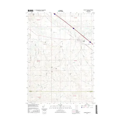
2016 Map of Lyndon Station
USGS Topo · Published 2016About this map
Lyndon Station serves as the primary population center in this portion of Juneau County, situated where regional roads like W Flint St and Industrial Ave converge. The surrounding landscape is defined by a series of prominent elevations and bluffs that rise above the drainage basins of Sevenmile Cr and Lyndon Cr. Notable landmarks such as Sheep Pasture Bluff, Fritz Bluff, and Moran Bluff punctuate the terrain, offering a clear view of the glacial and post-glacial geography of central Wisconsin.
Find a feature on this map
54 named features on this map. Tap any name to fly to it.
Don’t see what you’re looking for? This feature index may not catch every label — zoom into the map to look around manually.
Map Details
Editions of this 2016 Lyndon Station Map
This is the sole edition of this map. No revisions or reprints were ever made.
Other maps of this area

1901 · The Dells
USGS Topo · 1:62,500

1921 · Mauston
USGS Topo · 1:62,500

1956 · Reedsburg
USGS Topo · 1:62,500

1957 · Wisconsin Dells
USGS Topo · 1:62,500

1957 · Madison
USGS Topo · 1:250,000

1958 · La Crosse
USGS Topo · 1:250,000

1960 · Madison
USGS Topo · 1:250,000

1961 · La Crosse
USGS Topo · 1:250,000

1961 · Adams
USGS Topo · 1:62,500

1962 · Mauston
USGS Topo · 1:62,500