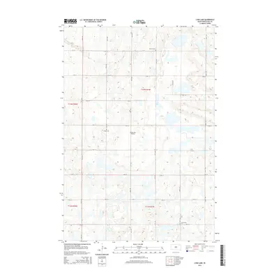
2015 Map of Lynn Lake
USGS Topo · Published 2015About this map
The Coteau des Prairies, a vast glacial plateau, dominates this Day County landscape, characterized by its complex network of seasonal wetlands and small basins. Central to this topography is Lynn Lake, surrounded by the high-relief hills and depressions typical of this prairie region. The land is organized by a precise grid of rural routes, including Sparby Rd and various numbered avenues and streets that reflect the systematic agricultural partitioning of South Dakota.
Find a feature on this map
24 named features on this map. Tap any name to fly to it.
Don’t see what you’re looking for? This feature index may not catch every label — zoom into the map to look around manually.
Map Details
Editions of this 2015 Lynn Lake Map
This is the sole edition of this map. No revisions or reprints were ever made.
Other maps of this area

1953 · Milbank
USGS Topo · 1:250,000

1958 · Milbank
USGS Topo · 1:250,000

1958 · Britton 4 SW
USGS Topo · 1:24,000

1958 · Langford
USGS Topo · 1:24,000

1958 · Pierpont
USGS Topo · 1:24,000

1970 · Britton 4 SE
USGS Topo · 1:24,000

1973 · Lynn Lake
USGS Topo · 1:24,000

1973 · Webster
USGS Topo · 1:24,000

1973 · Bristol West
USGS Topo · 1:24,000

1973 · Bristol East
USGS Topo · 1:24,000