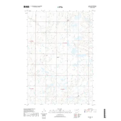
2017 Map of Lynn Lake
USGS Topo · Published 2017About this map
The Coteau des Prairies plateau defines this portion of Day County, characterized by a complex network of wetlands and small basins typical of the region's glacial geology. At the center of this hydrographic system is Lynn Lake, surrounded by dozens of unnamed seasonal ponds and marshes that reveal the natural drainage patterns of the high prairie. The landscape is structured by a rectilinear grid of section roads, including Co Rd 10 and Co Rd 12, which connect the rural landscape.
Find a feature on this map
19 named features on this map. Tap any name to fly to it.
Don’t see what you’re looking for? This feature index may not catch every label — zoom into the map to look around manually.
Map Details
Editions of this 2017 Lynn Lake Map
This is the sole edition of this map. No revisions or reprints were ever made.
Other maps of this area

1953 · Milbank
USGS Topo · 1:250,000

1958 · Milbank
USGS Topo · 1:250,000

1958 · Britton 4 SW
USGS Topo · 1:24,000

1958 · Langford
USGS Topo · 1:24,000

1958 · Pierpont
USGS Topo · 1:24,000

1970 · Britton 4 SE
USGS Topo · 1:24,000

1973 · Lynn Lake
USGS Topo · 1:24,000

1973 · Webster
USGS Topo · 1:24,000

1973 · Bristol West
USGS Topo · 1:24,000

1973 · Bristol East
USGS Topo · 1:24,000