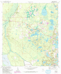
1970 Map of Lynne
USGS Topo · Published 1993About this map
The Ocklawaha River and its dense network of tributaries and landings define the western edge of this landscape, marking an era when the river was central to local movement. Within the Ocala National Forest, numerous small settlements such as Bruceville, Grahamsville, and Lacota are clustered near the waterways and a complex system of ponds and prairies. The map details the transition from riverine commerce to inland development, centered around Lynne and the East Marion Sch. Religious and social hubs like the Ocklawaha Bridge Ch stand near the Delks Bluff Bridge, while the vast Marshall Swamp and Heather Island to the south illustrate the significant wetlands that have historically shaped Marion County. This 1970s record, later updated with 1990s woodland data, reveals a mosaic of sandpits, campgrounds, and trailer parks that reflects the area's evolving land use during the late 20th century.
Find a feature on this map
50 named features on this map. Tap any name to fly to it.
Don’t see what you’re looking for? This feature index may not catch every label — zoom into the map to look around manually.
Map Details
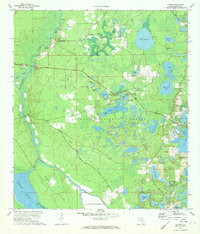
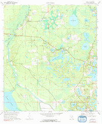
Editions of this 1970 Lynne Map
3 editions found
Other maps of this area

1893 · Citra
USGS Topo · 1:62,500

1895 · Citra
USGS Topo · 1:62,500

1895 · Ocala
USGS Topo · 1:62,500

1954 · Gainesville
USGS Topo · 1:250,000

1954 · Daytona Beach
USGS Topo · 1:250,000

1958 · Daytona Beach
USGS Topo · 1:250,000

1958 · Gainesville
USGS Topo · 1:250,000

1959 · Gainesville
USGS Topo · 1:250,000

1964 · Daytona Beach
USGS Topo · 1:250,000
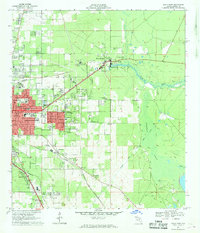
1967 · Ocala East
USGS Topo · 1:24,000