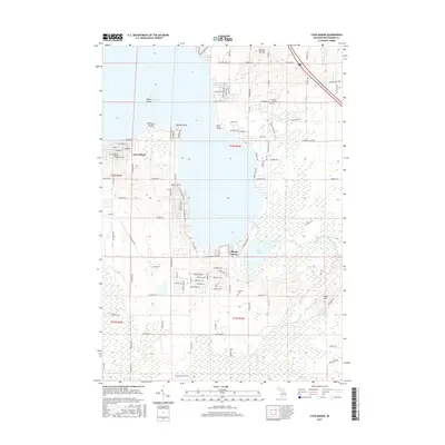
2017 Map of Lyon Manor
USGS Topo · Published 2017About this map
Higgins Lake dominates this northern Michigan landscape, providing a central focus for the surrounding lakeside developments and vacation communities. Along the western shore, the residential street grid of Lyon Manor includes named thoroughfares such as Columbia St and Chickasaw St, while prominent geographic markers like Old Point Comfort, Detroit Point, and Flag Point define the coastline. To the north, the Pioneer Ski Hill suggests the area's role as a seasonal recreational hub.
Find a feature on this map
145 named features on this map. Tap any name to fly to it.
Don’t see what you’re looking for? This feature index may not catch every label — zoom into the map to look around manually.
Map Details
Editions of this 2017 Lyon Manor Map
This is the sole edition of this map. No revisions or reprints were ever made.
Other maps of this area

1949 · Fletcher
USGS Topo · 1:62,500

1949 · Grayling
USGS Topo · 1:62,500

1950 · Cote Dame Marie
USGS Topo · 1:24,000

1950 · Roscommon North
USGS Topo · 1:24,000

1951 · Roscommon North
USGS Topo · 1:24,000

1951 · Pere Cheney
USGS Topo · 1:24,000

1954 · Traverse City
USGS Topo · 1:250,000

1956 · Houghton Lake
USGS Topo · 1:62,500

1958 · Traverse City
USGS Topo · 1:250,000

1963 · Roscommon South
USGS Topo · 1:24,000