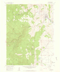
1957 Map of Lyons
USGS Topo · Published 1959About this map
Lyons serves as the focal point of this 1950s survey, situated where the North St Vrain and South St Vrain forks converge. The town's industrial character is defined by numerous quarries etched into the slopes of Steamboat Mountain and Indian Lookout Mountain, reflecting a landscape defined by stone extraction. To the south, the smaller settlement of Altona is marked by the Altona Grange, serving as a landmark near the intersection of Lefthand Creek and the Toll Gate Ditch.
Find a feature on this map
36 named features on this map. Tap any name to fly to it.
Don’t see what you’re looking for? This feature index may not catch every label — zoom into the map to look around manually.
Map Details
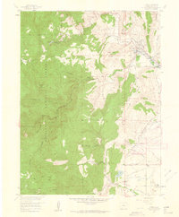
Editions of this 1957 Lyons Map
2 editions found
Other maps of this area

1902 · Boulder
USGS Topo · 1:62,500

1904 · Niwot
USGS Topo · 1:62,500

1904 · Boulder
USGS Topo · 1:62,500

1905 · Mount Olympus
USGS Topo · 1:62,500

1906 · Loveland
USGS Topo · 1:62,500

1907 · Mount Olympus
USGS Topo · 1:62,500

1908 · Loveland
USGS Topo · 1:62,500

1950 · Hygiene
USGS Topo · 1:24,000

1950 · Niwot
USGS Topo · 1:24,000
1951 · Niwot
USGS Topo · 1:24,000