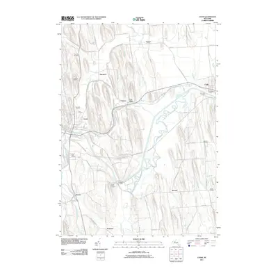
2011 Map of Lyons
USGS Topo · Published 2011About this map
The Clyde River and the complex waterways of the Erie Canal system dominate this Wayne County landscape. The map provides a clear look at the structural evolution of New York transit, showing the modern canal alongside remnants of the Old Erie Canal and the Clinton Ditch. Between the primary hubs of Lyons and Clyde, the terrain is marked by distinctive north-south glacial drumlins that dictate the path of local roads and the drainage of Black Brook and Melvin Brook. For those tracing local history, several family-named locations and small settlements like Lock Berlin, Alloway, and Marengo are documented. Significant genealogical resources are scattered throughout, including the Old Clyde Village Cemetery, South Lyons Cemetery, and the Lock Berlin Cemetery, which sit among the agricultural tracts and orchards of the Finger Lakes region.
Find a feature on this map
87 named features on this map. Tap any name to fly to it.
Don’t see what you’re looking for? This feature index may not catch every label — zoom into the map to look around manually.
Map Details
Editions of this 2011 Lyons Map
This is the sole edition of this map. No revisions or reprints were ever made.
Other maps of this area

1899 · Palmyra
USGS Topo · 1:62,500

1902 · Geneva
USGS Topo · 1:62,500

1902 · Clyde
USGS Topo · 1:62,500

1902 · Phelps
USGS Topo · 1:62,500

1902 · Palmyra
USGS Topo · 1:62,500

1943 · Lyons
USGS Topo · 1:31,680

1943 · Geneva North
USGS Topo · 1:31,680

1943 · Phelps
USGS Topo · 1:31,680

1943 · Savannah
USGS Topo · 1:31,680

1943 · Sodus
USGS Topo · 1:31,680