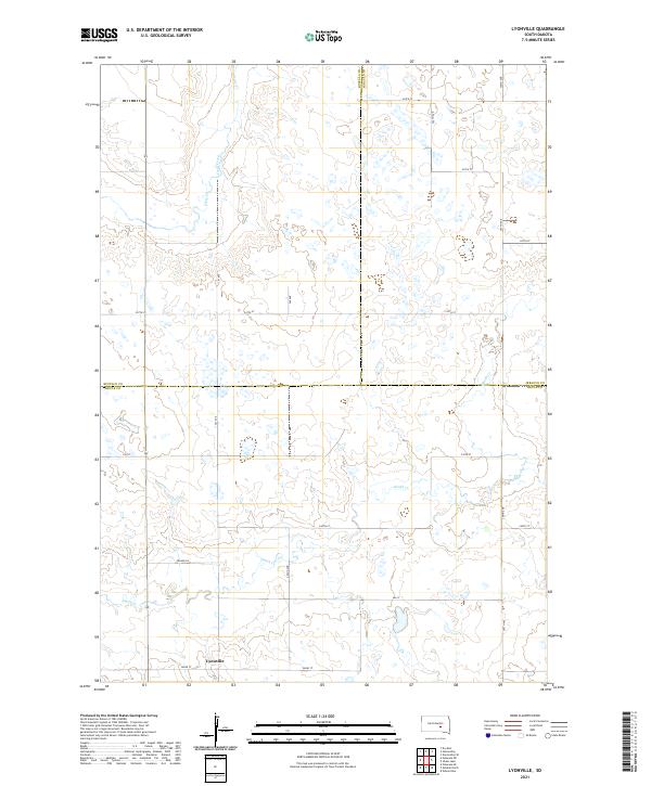
2021 Map of Lyonville
USGS Topo · Published 2021About this map
Lyonville sits in the southern portion of this landscape, positioned along the survey line in Brule County. The terrain is defined by a sparse network of section-line roads and the winding paths of intermittent waterways like Smith Cr and Crow Cr. The area is a nexus of three South Dakota counties — Buffalo, Jerauld, and Brule — with boundaries clearly delineated as they bisect the prairie. This 2021 update from the U.S. Geological Survey shows the modern placement of local thoroughfares such as 362nd Ave and Prairie Ln. The mapping reflects the enduring Public Land Survey System grid, which continues to dictate the orientation of farms and property boundaries across this section of the Great Plains.
Find a feature on this map
24 named features on this map. Tap any name to fly to it.
Don’t see what you’re looking for? This feature index may not catch every label — zoom into the map to look around manually.
Map Details
Editions of this 2021 Lyonville Map
This is the sole edition of this map. No revisions or reprints were ever made.
Other maps of this area

1941 · Pukwana
USGS Topo · 1:62,500

1941 · Kimball North
USGS Topo · 1:62,500

1951 · Pukwana
USGS Topo · 1:62,500

1951 · Kimball North
USGS Topo · 1:62,500

1953 · Huron
USGS Topo · 1:250,000

1954 · Huron
USGS Topo · 1:250,000

1955 · Mitchell
USGS Topo · 1:250,000

1959 · Mitchell
USGS Topo · 1:250,000

1973 · Big Bend Dam 4 SE
USGS Topo · 1:24,000

1973 · Gannvalley
USGS Topo · 1:24,000