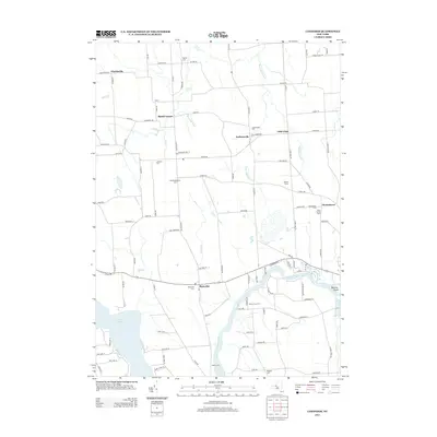
2013 Map of Lysander
USGS Topo · Published 2013About this map
Plainville and Little Utica anchor this rural landscape in Onondaga County, where the southern reaches are defined by the winding course of the Seneca River and the broad waters of Cross Lake. The region is marked by numerous small hamlets and agricultural crossroads, including Jacksonville, Baird Corners, and Floridaville, each preserving a sense of early New York settlement patterns. Local history is deeply embedded in the many burial grounds found throughout the quadrangle, such as Old Presbyterian Cem, Merritt Cem, and the Kingdom Cem located near the riverbanks.
Find a feature on this map
105 named features on this map. Tap any name to fly to it.
Don’t see what you’re looking for? This feature index may not catch every label — zoom into the map to look around manually.
Map Details
Editions of this 2013 Lysander Map
This is the sole edition of this map. No revisions or reprints were ever made.
Other maps of this area

1900 · Baldwinsville
USGS Topo · 1:62,500

1900 · Oswego
USGS Topo · 1:62,500

1900 · Fulton
USGS Topo · 1:62,500

1902 · Weedsport
USGS Topo · 1:62,500

1943 · Jordan
USGS Topo · 1:31,680

1943 · Lysander
USGS Topo · 1:31,680

1943 · Cato
USGS Topo · 1:31,680

1943 · Pennellville
USGS Topo · 1:31,680

1943 · Hannibal
USGS Topo · 1:31,680

1943 · Weedsport
USGS Topo · 1:31,680