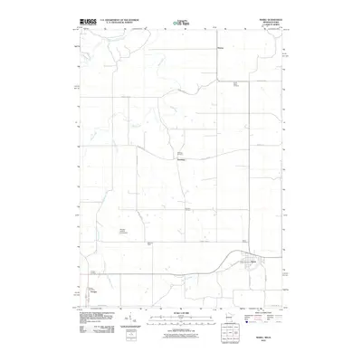
2010 Map of Mabel
USGS Topo · Published 2010About this map
Mabel serves as a primary hub in this southern Fillmore County landscape, where the town layout is anchored by the Mabel Post Office and Mabel Cemetery. The terrain is defined by a dendritic network of waterways, including Wisel Creek and Donaldson Creek, which flow through a rural environment of farmsteads and small settlements like Newburg and Tawney. Near the southern border, Prosper sits adjacent to the State Line Rd, marking the edge of the Minnesota-Iowa boundary.
Find a feature on this map
27 named features on this map. Tap any name to fly to it.
Don’t see what you’re looking for? This feature index may not catch every label — zoom into the map to look around manually.
Map Details
Editions of this 2010 Mabel Map
This is the sole edition of this map. No revisions or reprints were ever made.
Other maps of this area

1906 · Decorah
USGS Topo · 1:125,000

1958 · La Crosse
USGS Topo · 1:250,000

1961 · La Crosse
USGS Topo · 1:250,000

1965 · La Crosse
USGS Topo · 1:250,000

1965 · Mabel
USGS Topo · 1:24,000

1965 · Spring Grove
USGS Topo · 1:24,000

1965 · Canton
USGS Topo · 1:24,000

1965 · Yucatan
USGS Topo · 1:24,000

1965 · Bratsberg
USGS Topo · 1:24,000
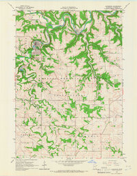
1965 · Lanesboro
USGS Topo · 1:24,000