2022 Map of Mabel
USGS Topo · Published 2022About this map
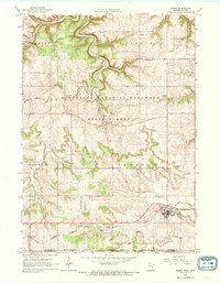
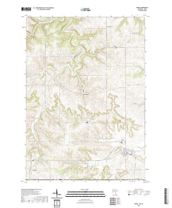
Mabel serves as a key settlement on this corner of the Minnesota border, where the land transitions into the carved valleys of the driftless area. The terrain is defined by the winding course of the S Fork Root River in the north and the smaller drainage of Vesta Cr to the west. Small agricultural hubs like Newburg and Prosper are connected by a grid of rural routes, including the prominent Arrowhead Rd. The map illustrates a landscape shaped by long-standing township divisions such as t102n r9w and t101n r8w, reflecting the persistent rural structure of Fillmore County. This modern survey provides a precise view of these historic crossroads and watercourses as they integrate with contemporary infrastructure, such as the local road network that links the northern settlement of Tawney to the southern border lands.
Find a feature on this map
12 named features on this map. Tap any name to fly to it.
Don’t see what you’re looking for? This feature index may not catch every label — zoom into the map to look around manually.
Map Details
Editions of this 2022 Mabel Map
This is the sole edition of this map. No revisions or reprints were ever made.