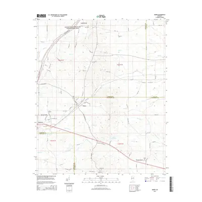
2015 Map of Maben
USGS Topo · Published 2015About this map
The Natchez Trace Parkway and National Scenic Trail cuts through the northwest corner of this landscape, following the ancient path through the headwaters of the Big Black River. This area is defined by its complex county boundaries, where the borders of Webster, Clay, Choctaw, and Oktibbeha counties converge near the town of Maben. The settlement patterns here are anchored by small communities like Cumberland, Spring Valley, and Mathiston, each with established local landmarks such as Marvin Hill Cem and Providence Cem. Extensive creek systems including Pigeon Roost Cr and Biba Wila Cr drain the terrain, which transitions from upland ridges to the low-lying waters of Lake Tuckaway. The dense network of cemeteries, from Double Springs Cem to Center Grove Cem, offers a detailed record of the families who settled this intersection of North Mississippi counties.
Find a feature on this map
90 named features on this map. Tap any name to fly to it.
Don’t see what you’re looking for? This feature index may not catch every label — zoom into the map to look around manually.
Map Details
Editions of this 2015 Maben Map
This is the sole edition of this map. No revisions or reprints were ever made.
Other maps of this area

1953 · West Point
USGS Topo · 1:250,000

1958 · West Point
USGS Topo · 1:250,000

1959 · Pheba
USGS Topo · 1:62,500

1963 · West Point
USGS Topo · 1:250,000

1965 · Longview
USGS Topo · 1:24,000

1972 · Maben
USGS Topo · 1:24,000

1972 · Sapa
USGS Topo · 1:24,000

1972 · Hohenlinden
USGS Topo · 1:24,000

1972 · Mantee
USGS Topo · 1:24,000

1972 · Double Springs
USGS Topo · 1:24,000