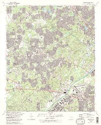
1992 Map of Mableton
USGS Topo · Published 1992About this map
Nickajack Creek and Olley Creek drain the industrializing landscape of Cobb County as it appeared in the early 1990s. The region is defined by a maturing suburban network of roads like Austell Road and Hurt Road, connecting established communities like Mableton, Smyrna, and Leland. Local genealogy is well-preserved through numerous community landmarks, including the Mableton Cem and several historic congregations such as Concord Ch and New Home Ch.
Find a feature on this map
91 named features on this map. Tap any name to fly to it.
Don’t see what you’re looking for? This feature index may not catch every label — zoom into the map to look around manually.
Map Details
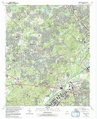
Editions of this 1992 Mableton Map
2 editions found
Other maps of this area

1888 · Atlanta
USGS Topo · 1:125,000

1890 · Atlanta
USGS Topo · 1:125,000

1891 · Marietta
USGS Topo · 1:125,000

1892 · Atlanta
USGS Topo · 1:125,000

1895 · Atlanta
USGS Topo · 1:125,000

1895 · Marietta
USGS Topo · 1:125,000

1897 · Marietta
USGS Topo · 1:125,000

1901 · Marietta
USGS Topo · 1:125,000

1953 · Atlanta
USGS Topo · 1:250,000

1954 · Campbellton
USGS Topo · 1:24,000