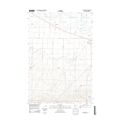
2013 Map of Mabton West
USGS Topo · Published 2013About this map
The Yakima River winds through the northern reaches of this Yakima County landscape, creating a complex wetland environment filled with small bodies of water like Giffin Lake, Slaughterhouse Lake, and Horseshoe Lake. The settlement of Mabton sits at the eastern edge of the quadrangle, serving as a gateway to the agricultural plains that lie between the river and the rising slopes of the Horse Heaven Hills to the south.
Find a feature on this map
45 named features on this map. Tap any name to fly to it.
Don’t see what you’re looking for? This feature index may not catch every label — zoom into the map to look around manually.
Map Details
Editions of this 2013 Mabton West Map
This is the sole edition of this map. No revisions or reprints were ever made.
Other maps of this area

1910 · Zillah
USGS Topo · 1:125,000

1915 · Prosser
USGS Topo · 1:125,000

1917 · Prosser
USGS Topo · 1:125,000

1950 · Yakima
USGS Topo · 1:250,000

1950 · Grandview
USGS Topo · 1:62,500

1951 · Grandview
USGS Topo · 1:62,500

1953 · Walla Walla
USGS Topo · 1:250,000

1955 · Prosser SW
USGS Topo · 1:24,000

1958 · Walla Walla
USGS Topo · 1:250,000

1958 · Yakima
USGS Topo · 1:250,000