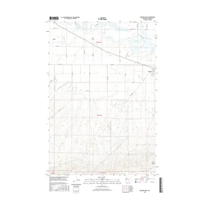
2017 Map of Mabton West
USGS Topo · Published 2017About this map
Yakima River hydrology and irrigation infrastructure define this Yakima County landscape, showing the complex water management systems of central Washington. The northern half of the region is a patchwork of small water bodies and wildlife areas, including Slaughterhouse Lake, Warren Lake, and the larger Giffin Lake. This riparian corridor is supported by an extensive grid of agricultural service roads like Midvale Rd and Looney Rd, which facilitate access to the valley floor.
Find a feature on this map
49 named features on this map. Tap any name to fly to it.
Don’t see what you’re looking for? This feature index may not catch every label — zoom into the map to look around manually.
Map Details
Editions of this 2017 Mabton West Map
This is the sole edition of this map. No revisions or reprints were ever made.
Other maps of this area

1910 · Zillah
USGS Topo · 1:125,000

1915 · Prosser
USGS Topo · 1:125,000

1917 · Prosser
USGS Topo · 1:125,000

1950 · Yakima
USGS Topo · 1:250,000

1950 · Grandview
USGS Topo · 1:62,500

1951 · Grandview
USGS Topo · 1:62,500

1953 · Walla Walla
USGS Topo · 1:250,000

1955 · Prosser SW
USGS Topo · 1:24,000

1958 · Walla Walla
USGS Topo · 1:250,000

1958 · Yakima
USGS Topo · 1:250,000