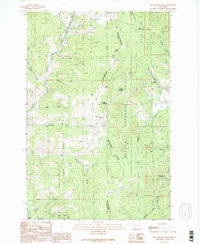
1989 Map of Mac Donald Pass
USGS Topo · Published 1989About this map
The Continental Divide snake-like through this portion of the Helena National Forest, marking the dramatic split between the Powell and Lewis and Clark county lines. This late-twentieth-century landscape is defined by its mining heritage and transit corridors, featuring a high concentration of mineral exploration sites such as the Third Term Mine, numerous Prospect pits, and an Open Pit Mine. The passage through the mountains is anchored by MacDonald Pass and Priest Pass, historical transit points that continue to support infrastructure like Radio Towers and a network of 4wd tracks. Recreational and tourist footprints are visible at Frontier Town and the Cromwell-Dixon Campground, while the hydrology of the area is mapped through complex drainages including Uncle George Creek and Little Flume Gulch.
Find a feature on this map
42 named features on this map. Tap any name to fly to it.
Don’t see what you’re looking for? This feature index may not catch every label — zoom into the map to look around manually.
Map Details
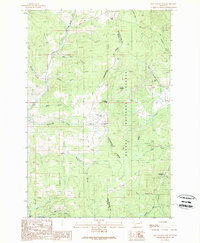
Editions of this 1989 Mac Donald Pass Map
2 editions found
Other maps of this area

1889 · Helena
USGS Topo · 1:250,000

1893 · Helena
USGS Topo · 1:250,000

1899 · Boulder
USGS Topo · 1:125,000

1899 · Helena
USGS Topo · 1:250,000

1903 · Helena
USGS Topo · 1:250,000

1947 · Butte
USGS Topo · 1:250,000

1950 · Jefferson City
USGS Topo · 1:62,500

1950 · Helena
USGS Topo · 1:62,500

1954 · Basin
USGS Topo · 1:62,500

1958 · Butte
USGS Topo · 1:250,000