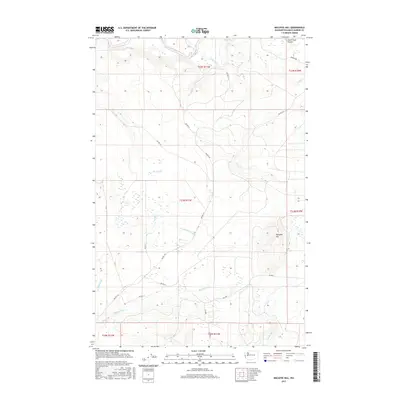
2017 Map of Macafee Hill
USGS Topo · Published 2017About this map
Macafee Hill rises above a complex drainage system in this corner of the Olympic Peninsula, where the headwaters of several major coastal rivers originate. The northern edge of the map is defined by the Quinault River and the open expanse of Chow Chow Prairie, a notable clearing amidst the dense forest. A network of Bureau of Indian Affairs (BIA) roads, such as Bia RD F-9 and Bia RD S-26, provides access through the timberlands, connecting various townships within the Quinault Indian Reservation.
Find a feature on this map
32 named features on this map. Tap any name to fly to it.
Don’t see what you’re looking for? This feature index may not catch every label — zoom into the map to look around manually.
Map Details
Editions of this 2017 Macafee Hill Map
This is the sole edition of this map. No revisions or reprints were ever made.
Other maps of this area

1921 · Quinault Lake
USGS Topo · 1:62,500

1938 · Moclips
USGS Topo · 1:62,500

1941 · Moclips
USGS Topo · 1:62,500

1943 · Humptulips
USGS Topo · 1:62,500

1943 · Copalis Beach
USGS Topo · 1:250,000

1951 · Copalis Beach
USGS Topo · 1:250,000

1955 · Macafee Hill
USGS Topo · 1:62,500

1955 · Humptulips
USGS Topo · 1:62,500

1955 · Quinault Lake
USGS Topo · 1:62,500

1955 · Carlisle
USGS Topo · 1:24,000