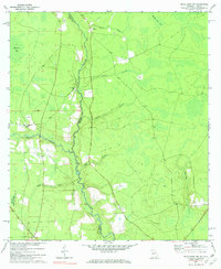
1972 Map of Macclenny NW
USGS Topo · Published 1973About this map
The North Prong St Marks River carves a winding path along the state line in this 1970s survey, marking a distinct boundary between Georgia and Florida. The landscape is defined by its low-lying wetlands and creek systems, including Joaquin Creek and Whales Flat Bay, which drain into the river's slow-moving course. In the southwestern corner, the Osceola National Forest provides a preserved expanse of pine and cypress terrain.
Find a feature on this map
21 named features on this map. Tap any name to fly to it.
Don’t see what you’re looking for? This feature index may not catch every label — zoom into the map to look around manually.
Map Details
Editions of this 1972 Macclenny NW Map
2 editions found
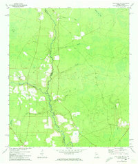
Other maps of this area

1917 · Macclenny
USGS Topo · 1:62,500

1918 · Moniac
USGS Topo · 1:62,500

1918 · Macclenny
USGS Topo · 1:62,500

1942 · Moniac
USGS Topo · 1:62,500

1954 · Valdosta
USGS Topo · 1:250,000

1956 · Eddy
USGS Topo · 1:24,000

1958 · Valdosta
USGS Topo · 1:250,000

1959 · Valdosta
USGS Topo · 1:250,000
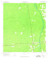
1966 · St George
USGS Topo · 1:24,000
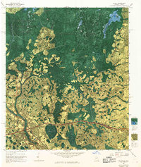
1967 · Moniac
USGS Topo · 1:24,000