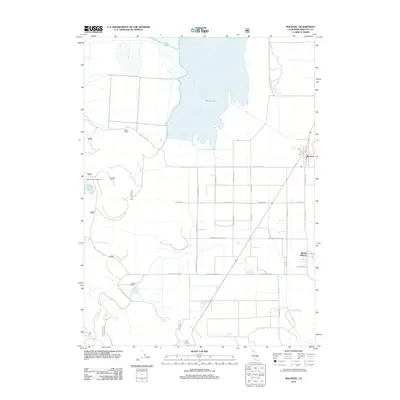
2012 Map of MacDoel
USGS Topo · Published 2012About this map
Meiss Lake and the surrounding high-desert basins dominate this portion of Siskiyou County, where water resources define the layout of local ranches and travel routes. The agricultural community of Macdoel serves as a central hub, situated along the corridor of the Old State Hwy and the local post office. Further south, the settlement of Mount Hebron marks a clear grid of streets including Main St and Alameda Ave.
Find a feature on this map
33 named features on this map. Tap any name to fly to it.
Don’t see what you’re looking for? This feature index may not catch every label — zoom into the map to look around manually.
Map Details
Editions of this 2012 MacDoel Map
This is the sole edition of this map. No revisions or reprints were ever made.
Other maps of this area
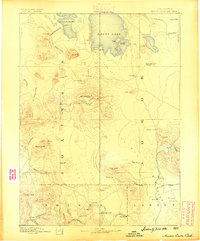
1886 · Modoc Lava Bed
USGS Topo · 1:250,000
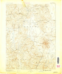
1886 · Shasta
USGS Topo · 1:250,000
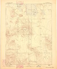
1892 · Modoc Lava-Bed
USGS Topo · 1:250,000
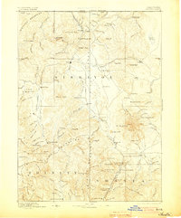
1894 · Shasta
USGS Topo · 1:250,000
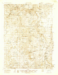
1934 · Macdoel
USGS Topo · 1:96,000
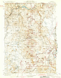
1941 · Macdoel
USGS Topo · 1:125,000
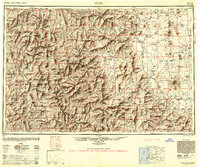
1948 · Weed
USGS Topo · 1:250,000
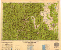
1950 · Weed
USGS Topo · 1:250,000
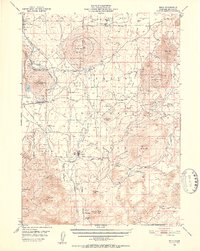
1950 · Bray
USGS Topo · 1:62,500
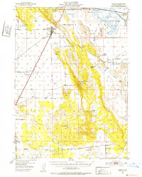
1950 · Dorris
USGS Topo · 1:62,500