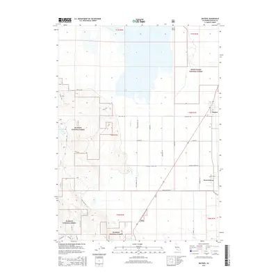
2015 Map of MacDoel
USGS Topo · Published 2015About this map
Macdoel and the neighboring community of Mount Hebron anchor this 2015 study of the high desert and mountain interface in Northern California. The landscape is defined by the broad floor of the Butte Valley, bounded by the protected timberlands of the Klamath National Forest and the Butte Valley National Forest. Significant water features like Meiss Lake and the smaller Juanita Lake provide ecological diversity amidst a grid of rural roads including Cook Campbell Rd and Dysert Rd. The map illustrates a region where agriculture and forestry intersect, shown through the network of access routes such as Meiss Lake Rd and the presence of local landmarks like the Post Office in Macdoel. Hydrological elements like Prather Creek and Dorris Spring further characterize the drainage patterns of this Siskiyou County territory.
Find a feature on this map
38 named features on this map. Tap any name to fly to it.
Don’t see what you’re looking for? This feature index may not catch every label — zoom into the map to look around manually.
Map Details
Editions of this 2015 MacDoel Map
This is the sole edition of this map. No revisions or reprints were ever made.
Other maps of this area

1886 · Modoc Lava Bed
USGS Topo · 1:250,000

1886 · Shasta
USGS Topo · 1:250,000

1892 · Modoc Lava-Bed
USGS Topo · 1:250,000

1894 · Shasta
USGS Topo · 1:250,000

1934 · Macdoel
USGS Topo · 1:96,000

1941 · Macdoel
USGS Topo · 1:125,000

1948 · Weed
USGS Topo · 1:250,000

1950 · Weed
USGS Topo · 1:250,000

1950 · Bray
USGS Topo · 1:62,500

1950 · Dorris
USGS Topo · 1:62,500