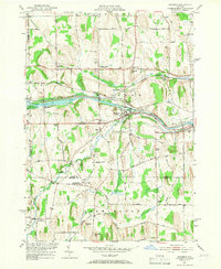
1951 Map of Macedon
USGS Topo · Published 1966About this map
The New York State Barge Canal (Erie Canal) serves as the industrial backbone of this mid-century landscape, cutting a path through Macedon and past Wayneport. This era shows a transition where the historic Erie waterway and the New York Central Railroad operate in parallel, supporting small agricultural and industrial centers. The map preserves the names of numerous local districts, including Farmington (Pumpkin Hook) and Yellow Mills, along with a dense network of numbered schoolhouses such as School No 9 and School No 12.
Find a feature on this map
54 named features on this map. Tap any name to fly to it.
Don’t see what you’re looking for? This feature index may not catch every label — zoom into the map to look around manually.
Map Details
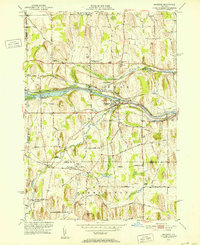
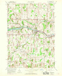
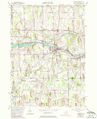
Editions of this 1951 Macedon Map
4 editions found
Other maps of this area

1899 · Palmyra
USGS Topo · 1:62,500

1900 · Macedon
USGS Topo · 1:62,500

1900 · Canandaigua
USGS Topo · 1:62,500

1902 · Phelps
USGS Topo · 1:62,500

1902 · Palmyra
USGS Topo · 1:62,500

1903 · Canandaigua
USGS Topo · 1:62,500

1932 · Webster
USGS Topo · 1:24,000

1932 · Fairport
USGS Topo · 1:24,000

1934 · Fairport
USGS Topo · 1:24,000

1934 · Webster
USGS Topo · 1:24,000