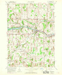
1951 Map of Macedon
USGS Topo · Published 1970About this map
The Erie Canal and the Penn Central railroad corridors define the central movement of this Wayne County landscape, anchored by the village of Macedon. This mid-century survey, with revisions from 1969, illustrates a region shaped by both its agricultural roots and industrial transport legacy. The presence of Yellow Mills on Ganargua Creek and the numerous gravel pits near Walworth Station point to the local processing and extraction industries that once thrived alongside the canal.
Find a feature on this map
62 named features on this map. Tap any name to fly to it.
Don’t see what you’re looking for? This feature index may not catch every label — zoom into the map to look around manually.
Map Details
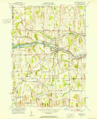
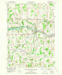
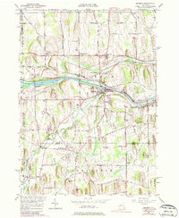
Editions of this 1951 Macedon Map
4 editions found
Other maps of this area

1899 · Palmyra
USGS Topo · 1:62,500

1900 · Macedon
USGS Topo · 1:62,500

1900 · Canandaigua
USGS Topo · 1:62,500

1902 · Phelps
USGS Topo · 1:62,500

1902 · Palmyra
USGS Topo · 1:62,500

1903 · Canandaigua
USGS Topo · 1:62,500

1932 · Webster
USGS Topo · 1:24,000

1932 · Fairport
USGS Topo · 1:24,000

1934 · Fairport
USGS Topo · 1:24,000

1934 · Webster
USGS Topo · 1:24,000