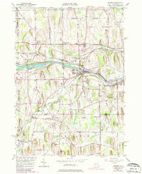
1951 Map of Macedon
USGS Topo · Published 1979About this map
The Erie Canal and the Penn Central railroad tracks create a concentrated corridor of transport and industry through this portion of Wayne and Ontario Counties. Centered on Macedon, the landscape is defined by the winding course of Ganargua Creek and a series of drumlins including Science Hill and Dynamite Hill. The settlement of Farmington (Pumpkin Hook) sits at a crossroads to the south, while small historic clusters like Wayneport and Walworth Station highlight the era's reliance on rail and water infrastructure.
Find a feature on this map
65 named features on this map. Tap any name to fly to it.
Don’t see what you’re looking for? This feature index may not catch every label — zoom into the map to look around manually.
Map Details
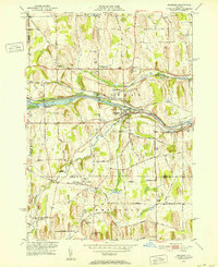
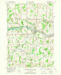
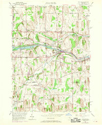
Editions of this 1951 Macedon Map
4 editions found
Other maps of this area

1899 · Palmyra
USGS Topo · 1:62,500

1900 · Macedon
USGS Topo · 1:62,500

1900 · Canandaigua
USGS Topo · 1:62,500

1902 · Phelps
USGS Topo · 1:62,500

1902 · Palmyra
USGS Topo · 1:62,500

1903 · Canandaigua
USGS Topo · 1:62,500

1932 · Webster
USGS Topo · 1:24,000

1932 · Fairport
USGS Topo · 1:24,000

1934 · Fairport
USGS Topo · 1:24,000

1934 · Webster
USGS Topo · 1:24,000