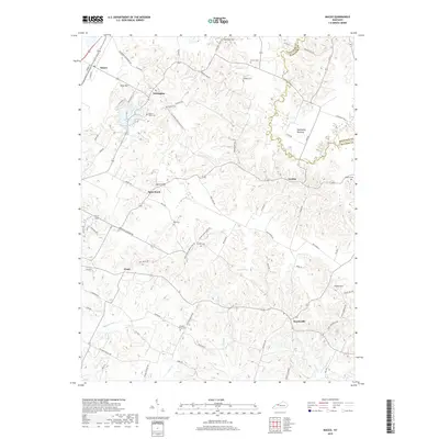
2019 Map of Maceo
USGS Topo · Published 2019About this map
The agrarian communities of Knottsville and Yelvington anchor this survey of eastern Daviess County, where the terrain transitions from the low-lying Tywhapity Bottoms to prominent high points like Spice Knob and Indian Hill. For family historians, the landscape is densely marked with small family burial grounds, including Hawes-Taylor Cem, Winkler Cem, and Glover Cem, many tucked away near older farm roads like Gobler Ford Rd and Possum Trot Rd. This late-2010s map illustrates the enduring rural settlement patterns of the region, featuring small clusters at Ensor and Scythia and the managed waters of Kingfisher Lakes. The drainage network, defined by Hazel Ditch, Burnett Fork, and Caney Cr, reflects a long-established system of agricultural water management essential to the fertile valleys between the county's distinct ridges and knobs.
Find a feature on this map
78 named features on this map. Tap any name to fly to it.
Don’t see what you’re looking for? This feature index may not catch every label — zoom into the map to look around manually.
Map Details
Editions of this 2019 Maceo Map
This is the sole edition of this map. No revisions or reprints were ever made.
Other maps of this area

1901 · Owensboro
USGS Topo · 1:62,500

1903 · Tell City
USGS Topo · 1:62,500

1906 · Sutherland
USGS Topo · 1:62,500

1907 · Whitesville
USGS Topo · 1:62,500

1909 · Whitesville
USGS Topo · 1:62,500

1952 · Owensboro East
USGS Topo · 1:24,000

1952 · Rockport
USGS Topo · 1:24,000

1953 · Philpot
USGS Topo · 1:24,000

1953 · Sutherland
USGS Topo · 1:24,000

1953 · Lewisport
USGS Topo · 1:24,000