2022 Map of Maceo
USGS Topo · Published 2022About this map
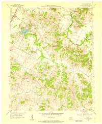
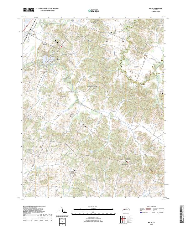
The agrarian landscape of northeastern Daviess County is defined by a dense network of family cemeteries and rural parishes that highlight the deep generational roots of this Kentucky region. Settlement patterns cluster around historic junctions like Yelvington and Knottsville, where the Saint William Catholic Church Cem serves as a significant local landmark. The terrain transitions from the elevations of Spice Knob and Iron Ore Hill down to the fertile lowlands of Tywhapity Bottoms along the Hancock and Daviess county line.
Find a feature on this map
105 named features on this map. Tap any name to fly to it.
Don’t see what you’re looking for? This feature index may not catch every label — zoom into the map to look around manually.
Map Details
Editions of this 2022 Maceo Map
This is the sole edition of this map. No revisions or reprints were ever made.