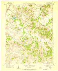
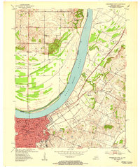
1953 Map of Maceo
USGS Topo · Published 1955About this map
The hills and creek bottoms of eastern Daviess County come alive in this 1950s survey, defined by the winding course of Blackford Creek and its many tributaries like Pup Creek and Slop Creek. Settlement patterns center on historic community hubs such as Knottsville, Yelvington, and Maceo, the latter of which sits along the Louisville & Nashville rail line. The landscape is dotted with family cemeteries and country churches, reflecting a deeply rooted rural genealogy including the Hawes and Taylor Cem, Webber Cem, and South Hampton Ch.
Find a feature on this map
33 named features on this map. Tap any name to fly to it.
Don’t see what you’re looking for? This feature index may not catch every label — zoom into the map to look around manually.
Map Details
Editions of this 1953 Maceo Map
This is the sole edition of this map. No revisions or reprints were ever made.
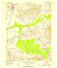
Other maps of this area

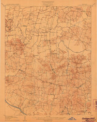
1901 · Owensboro
USGS Topo · 1:62,500

1903 · Tell City
USGS Topo · 1:62,500
1906 · Sutherland
USGS Topo · 1:62,500
1907 · Whitesville
USGS Topo · 1:62,500
1909 · Whitesville
USGS Topo · 1:62,500
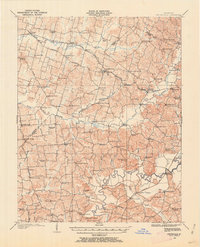
1952 · Owensboro East
USGS Topo · 1:24,000
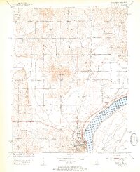
1952 · Rockport
USGS Topo · 1:24,000

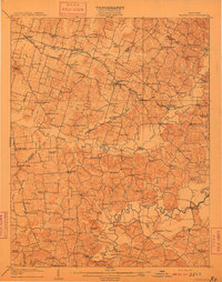
1953 · Philpot
USGS Topo · 1:24,000
1953 · Sutherland
USGS Topo · 1:24,000
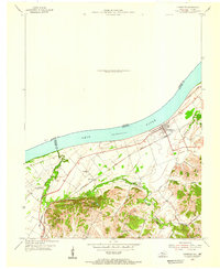
1953 · Lewisport
USGS Topo · 1:24,000