
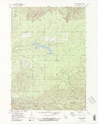
1972 Map of Mack Lake
USGS Topo · Published 1975About this map
Huron National Forest dominates this northern Michigan landscape, where the 1970s wilderness is defined by a dense network of glacial lakes and service roads. Central to the area is Mack Lake, flanked by the Mack Lake Lookout Tower and the Keeley Road campground. The terrain's historical industrial use is evidenced by an Old RR Grade and a Gravel Pit near the southern boundary. To the south, along the Oscoda Co Ogemaw Co line, the geography transitions into a cluster of smaller water bodies including Trout Lake, Long Lost Lake, and Lost Lake. The presence of the Hughes Lake Lookout Tower and remote landmarks like Brainard Springs reflects a region focused on conservation and forest management during this era.
Find a feature on this map
30 named features on this map. Tap any name to fly to it.
Don’t see what you’re looking for? This feature index may not catch every label — zoom into the map to look around manually.
Map Details
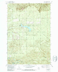
Editions of this 1972 Mack Lake Map
3 editions found
Other maps of this area

1954 · Traverse City
USGS Topo · 1:250,000

1954 · Tawas City
USGS Topo · 1:250,000

1958 · Traverse City
USGS Topo · 1:250,000

1958 · Tawas City
USGS Topo · 1:250,000

1965 · Damon
USGS Topo · 1:24,000

1965 · Rose City
USGS Topo · 1:24,000

1968 · South Branch
USGS Topo · 1:24,000

1972 · McKinley
USGS Topo · 1:24,000

1972 · Goodar
USGS Topo · 1:24,000

1972 · Mio
USGS Topo · 1:24,000