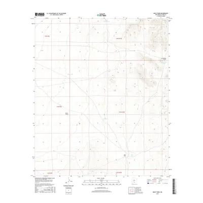
2017 Map of Mack Tanks
USGS Topo · Published 2017About this map
Water management dominates this arid landscape in southeastern New Mexico, where numerous catchment features suggest a reliance on seasonal runoff for livestock and land use. The eponymous Mack Tanks and the smaller Little Mack Tank are situated near the head of Mack Draw, a drainage that cuts through the southeastern portion of the quadrangle. Other isolated water sources like Middle Tank and Little Crockett Tank are scattered across the high desert terrain, serving as vital landmarks in an area otherwise characterized by significant topographic relief and remote canyons.
Find a feature on this map
14 named features on this map. Tap any name to fly to it.
Don’t see what you’re looking for? This feature index may not catch every label — zoom into the map to look around manually.
Map Details
Editions of this 2017 Mack Tanks Map
This is the sole edition of this map. No revisions or reprints were ever made.
Other maps of this area

1940 · Bassett Lake
USGS Topo · 1:62,500

1940 · Orogrande
USGS Topo · 1:62,500

1941 · Desert
USGS Topo · 1:62,500

1943 · Pendejo Wash
USGS Topo · 1:62,500

1943 · Desert
USGS Topo · 1:62,500

1943 · Bassett Lake
USGS Topo · 1:62,500

1943 · Orogrande
USGS Topo · 1:62,500

1947 · Desert NE
USGS Topo · 1:24,000

1947 · Orogrande North
USGS Topo · 1:24,000
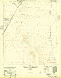
1948 · Orogrande South
USGS Topo · 1:24,000