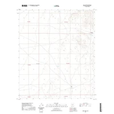
2020 Map of Mack Tanks
USGS Topo · Published 2020About this map
Mack Tanks and several smaller catchments define this arid landscape in southern New Mexico, where water management is central to the land's utility. This high-desert terrain is marked by seasonal drainages such as Mack Draw and the deep relief of Martin Canyon. The prevalence of man-made water features like Little Mack Tank, Little Crockett Tank, and Hay Meadow Tank indicates the vital infrastructure required for ranching or land management in this portion of Otero County. These specific landmarks, along with Hay Meadow Canyon, show the varied topography of a region structured by the Public Land Survey System, including portions of Townships 22, 23, and 24 South.
Find a feature on this map
13 named features on this map. Tap any name to fly to it.
Don’t see what you’re looking for? This feature index may not catch every label — zoom into the map to look around manually.
Map Details
Editions of this 2020 Mack Tanks Map
This is the sole edition of this map. No revisions or reprints were ever made.
Other maps of this area

1940 · Bassett Lake
USGS Topo · 1:62,500

1940 · Orogrande
USGS Topo · 1:62,500

1941 · Desert
USGS Topo · 1:62,500

1943 · Pendejo Wash
USGS Topo · 1:62,500

1943 · Desert
USGS Topo · 1:62,500

1943 · Bassett Lake
USGS Topo · 1:62,500

1943 · Orogrande
USGS Topo · 1:62,500

1947 · Desert NE
USGS Topo · 1:24,000

1947 · Orogrande North
USGS Topo · 1:24,000
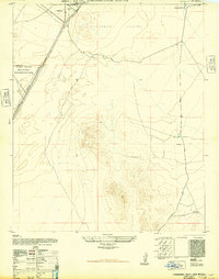
1948 · Orogrande South
USGS Topo · 1:24,000