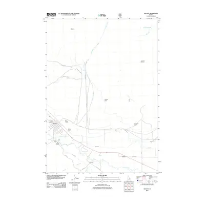
2011 Map of Mackay
USGS Topo · Published 2011About this map
Mackay serves as the focal point of this Idaho valley, situated along the base of the massive Mount McCaleb peak. The landscape is defined by the complex water management of the Big Lost River basin, where an intricate network of man-made channels like Nielsen Ditch and the Lower Cedar Creek Ditch distribute mountain runoff across the valley floor. To the south, the settlement of Houston sits near the confluence of Willow Creek and Cliff Creek, highlighting the importance of these small riparian corridors for early development.
Find a feature on this map
31 named features on this map. Tap any name to fly to it.
Don’t see what you’re looking for? This feature index may not catch every label — zoom into the map to look around manually.
Map Details
Editions of this 2011 Mackay Map
This is the sole edition of this map. No revisions or reprints were ever made.
Other maps of this area

1935 · MacKay
USGS Topo · 1:96,000

1935 · Borah Peak
USGS Topo · 1:125,000

1938 · Borah Peak
USGS Topo · 1:125,000

1940 · Mackay
USGS Topo · 1:62,500

1955 · Dubois
USGS Topo · 1:250,000

1955 · Idaho Falls
USGS Topo · 1:250,000

1957 · Hawley Mountain
USGS Topo · 1:62,500

1958 · Dubois
USGS Topo · 1:250,000

1958 · Idaho Falls
USGS Topo · 1:250,000

1960 · Mackay
USGS Topo · 1:62,500