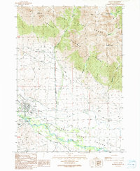
1991 Map of Mackay
USGS Topo · Published 1991About this map
The Big Lost River carves a broad valley through this high-altitude landscape, anchoring a network of irrigation and industrial infrastructure. The town of Mackay serves as the central hub, supported by water-management systems including the Nielsen Ditch, Sharp Ditch, and Bench Ditch. Industrial history is prominent on the valley floor, evidenced by the Empire Smelter and several Gravel Pits, while an Old Railroad Grade traces the base of the mountains, marking the paths of former ore transport. To the north and east, the Challis National Forest rises toward rugged peaks like Mount McCaleb and Invisible Mountain, where numerous Prospects dot the drainages of Mahogany Gulch and Methodist Gulch. This 1991 revision also documents the community surroundings, from the Mount McCaleb Cem to the local Mackay Airport and the settlement of Houston downstream.
Find a feature on this map
42 named features on this map. Tap any name to fly to it.
Don’t see what you’re looking for? This feature index may not catch every label — zoom into the map to look around manually.
Map Details
Editions of this 1991 Mackay Map
This is the sole edition of this map. No revisions or reprints were ever made.
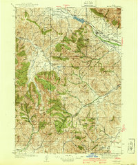
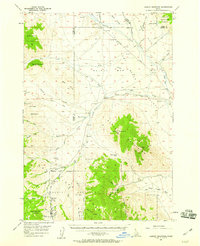
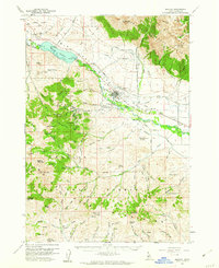
Other maps of this area

1935 · MacKay
USGS Topo · 1:96,000

1935 · Borah Peak
USGS Topo · 1:125,000

1938 · Borah Peak
USGS Topo · 1:125,000
1940 · Mackay
USGS Topo · 1:62,500

1955 · Dubois
USGS Topo · 1:250,000

1955 · Idaho Falls
USGS Topo · 1:250,000
1957 · Hawley Mountain
USGS Topo · 1:62,500

1958 · Dubois
USGS Topo · 1:250,000

1958 · Idaho Falls
USGS Topo · 1:250,000
1960 · Mackay
USGS Topo · 1:62,500