
1988 Map of Macon
USGS Topo · Published 1989About this map
The Ocmulgee River and Oconee River dominate this regional view of central Georgia, tracing a path toward their confluence at the Altamaha River. Recorded in the late 1980s, the map reveals the sprawling influence of Robins Air Force Base near Warner Robbins, a major anchor for the regional economy. The landscape is a study in transition, from the conservation lands of the Piedmont National Wildlife Refuge and Oconee National Forest in the north to the distinctive Sand Hills terrain.
Find a feature on this map
163 named features on this map. Tap any name to fly to it.
Don’t see what you’re looking for? This feature index may not catch every label — zoom into the map to look around manually.
Map Details
Editions of this 1988 Macon Map
This is the sole edition of this map. No revisions or reprints were ever made.
Other maps of this area
1912 · Milledgeville
USGS Topo · 1:62,500

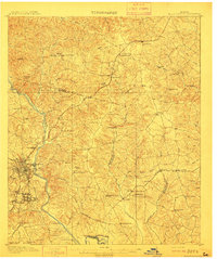
1916 · Irwinton
USGS Topo · 1:62,500

1919 · Gough
USGS Topo · 1:62,500

1919 · Claxton
USGS Topo · 1:62,500

1920 · Statesboro
USGS Topo · 1:62,500

1920 · Stapleton
USGS Topo · 1:62,500

1920 · Glennville
USGS Topo · 1:62,500
1920 · Millen
USGS Topo · 1:62,500

1920 · Greens Cut
USGS Topo · 1:62,500

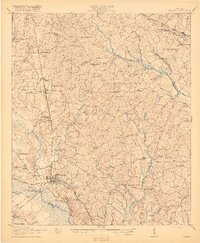
1920 · Irwinton
USGS Topo · 1:62,500