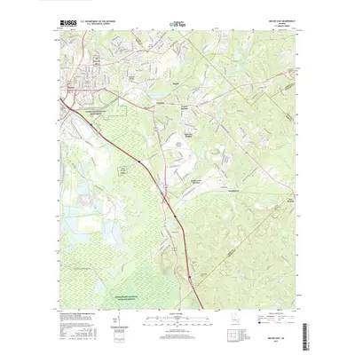
2017 Map of Macon East
USGS Topo · Published 2017About this map
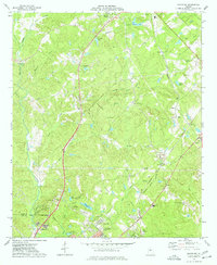
Ocmulgee National Monument and the prehistoric Lamar Mounds define the landscape east of the Ocmulgee River, where the city of Macon transitions into the wetlands of the Bond Swamp National Wildlife Refuge. The map reveals a complex interface between suburban growth and protected natural areas, particularly around Crystal Springs and Wheeler Heights.
Find a feature on this map
178 named features on this map. Tap any name to fly to it.
Don’t see what you’re looking for? This feature index may not catch every label — zoom into the map to look around manually.
Map Details
Editions of this 2017 Macon East Map
This is the sole edition of this map. No revisions or reprints were ever made.
Other maps of this area
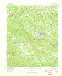
1956 · Gordon
USGS Topo · 1:62,500
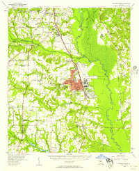
1956 · Warner Robins
USGS Topo · 1:62,500
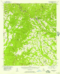
1956 · Jeffersonville
USGS Topo · 1:62,500
1956 · Macon West
USGS Topo · 1:24,000
1956 · Macon East
USGS Topo · 1:24,000
1956 · Macon
USGS Topo · 1:62,500

1957 · Macon
USGS Topo · 1:250,000

1958 · Macon
USGS Topo · 1:250,000
1964 · Macon
USGS Topo · 1:250,000
1973 · Macon NE
USGS Topo · 1:24,000