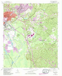
1956 Map of Macon East
USGS Topo · Published 1986About this map
Ocmulgee National Monument and the ancient earthworks of the Lamar Mounds and Indian Mound sit at the heart of this landscape, representing centuries of human habitation along the Ocmulgee River. The eastern reaches of Macon show significant mid-century industrial activity, with several large Strip Mine operations and Brick Kilns scattered near the riverbanks. The transportation network is dense, defined by a convergence of major rail lines including the Central of Georgia and the Seaboard Air Line. Beyond the urban core, smaller communities like Smithonia and Franklinton are centers for local life, supported by rural institutions such as Union Chapel and the County Childrens Home. The presence of the Downtown Airport (Herbert Smart) and growing residential areas like Lanier Heights suggest the city's postwar expansion into the surrounding hills of Bibb and Twiggs counties.
Find a feature on this map
56 named features on this map. Tap any name to fly to it.
Don’t see what you’re looking for? This feature index may not catch every label — zoom into the map to look around manually.
Map Details
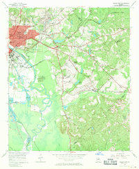
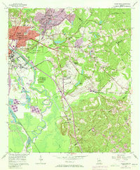
Editions of this 1956 Macon East Map
4 editions found
Other maps of this area

1956 · Gordon
USGS Topo · 1:62,500

1956 · Warner Robins
USGS Topo · 1:62,500

1956 · Jeffersonville
USGS Topo · 1:62,500

1956 · Macon West
USGS Topo · 1:24,000

1956 · Macon East
USGS Topo · 1:24,000

1956 · Macon
USGS Topo · 1:62,500

1957 · Macon
USGS Topo · 1:250,000

1958 · Macon
USGS Topo · 1:250,000

1964 · Macon
USGS Topo · 1:250,000
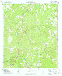
1973 · Macon NE
USGS Topo · 1:24,000