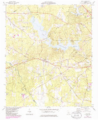
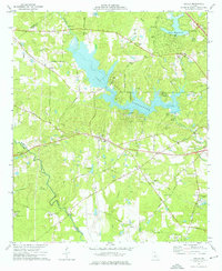
1974 Map of Lizella
USGS Topo · Published 1985About this map
The community of Lizella serves as a central hub in this mid-1970s topographical survey, situated at the intersection of the Southern Railway and key regional thoroughfares like Knoxville Road. The landscape is dominated by the sprawling waters of Lake Tobesofkee, which by this era had become a focal point for recreation, evidenced by Claystone Park, Arrowhead Park, and various campgrounds along its irregular shoreline. This map illustrates the transition of Bibb County from rural agricultural roots toward a suburban and recreational character.
Find a feature on this map
73 named features on this map. Tap any name to fly to it.
Don’t see what you’re looking for? This feature index may not catch every label — zoom into the map to look around manually.
Map Details
Editions of this 1974 Lizella Map
2 editions found
Other maps of this area

1956 · Fort Valley
USGS Topo · 1:62,500

1956 · Bolingbroke
USGS Topo · 1:62,500

1956 · Warner Robins
USGS Topo · 1:62,500

1956 · Macon West
USGS Topo · 1:24,000

1956 · Macon
USGS Topo · 1:62,500

1957 · Macon
USGS Topo · 1:250,000

1958 · Macon
USGS Topo · 1:250,000

1964 · Macon
USGS Topo · 1:250,000
1973 · Macon NW
USGS Topo · 1:24,000
1973 · Warner Robins NW
USGS Topo · 1:24,000