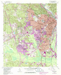
1956 Map of Macon West
USGS Topo · Published 1986About this map
Wesleyan College and Mercer University anchor this detailed study of middle Georgia, documenting the expansion of the Macon urban area into the surrounding countryside. The western outskirts are defined by an extensive network of educational and social institutions, ranging from the Georgia Academy for the Blind to the Georgia Industrial Home. The landscape transitions from the dense street grids of Ingleside and Vineville to the sprawling developments of West Lawn and Bloomfield Gardens, where purple revisions indicate significant mid-century growth.
Find a feature on this map
92 named features on this map. Tap any name to fly to it.
Don’t see what you’re looking for? This feature index may not catch every label — zoom into the map to look around manually.
Map Details
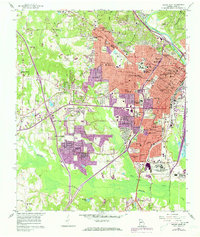
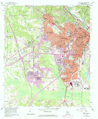
Editions of this 1956 Macon West Map
4 editions found
Other maps of this area

1956 · Fort Valley
USGS Topo · 1:62,500

1956 · Bolingbroke
USGS Topo · 1:62,500

1956 · Warner Robins
USGS Topo · 1:62,500

1956 · Macon West
USGS Topo · 1:24,000

1956 · Macon East
USGS Topo · 1:24,000

1956 · Macon
USGS Topo · 1:62,500

1957 · Macon
USGS Topo · 1:250,000

1958 · Macon
USGS Topo · 1:250,000

1964 · Macon
USGS Topo · 1:250,000
1973 · Macon NE
USGS Topo · 1:24,000