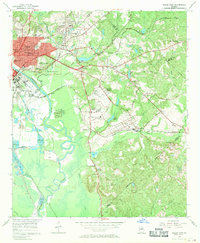
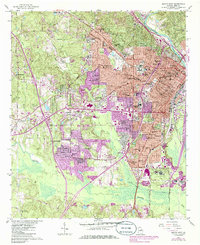
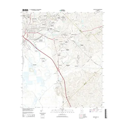
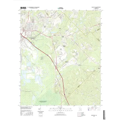
1956 Map of Macon East
USGS Topo · Published 1970About this map
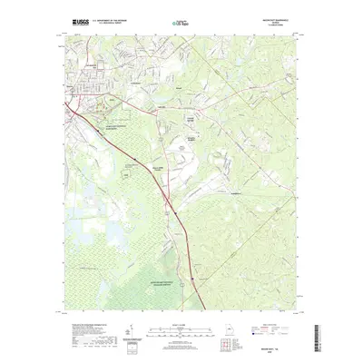
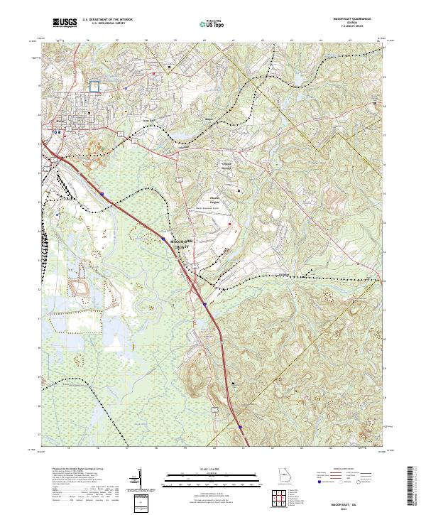
The Ocmulgee National Monument anchors this 1950s landscape, preserving ancient earthworks like the Lamar Mounds and Indian Mound alongside the Ocmulgee River. The urban edge of Macon is visible to the west, where historical landmarks like Ft Hawkins stand near the busy intersection of the Central of Georgia railroad. Eastward, the terrain shifts into a series of smaller communities and rural institutional sites, including Mogul, Lanier Heights, and the County Childrens Home.
Find a feature on this map
59 named features on this map. Tap any name to fly to it.
Don’t see what you’re looking for? This feature index may not catch every label — zoom into the map to look around manually.
Map Details
Editions of this 1956 Macon East Map
4 editions found
Historical Maps of Macon Through Time
24 maps found
1956 Macon East
Bibb County, GA
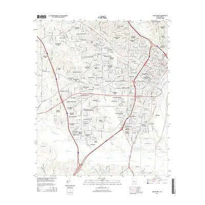
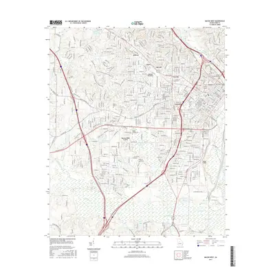
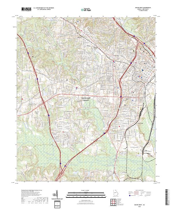
1956 Macon West
Bibb County, GA
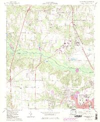
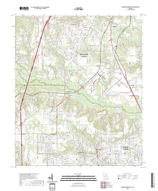
1973 Warner Robins NW
Bibb County, GA
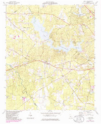
1974 Lizella
Bibb County, GA
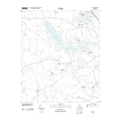
2011 Lizella
Bibb County, GA
2011 Macon East
Bibb County, GA
2011 Macon West
Bibb County, GA
2011 Warner Robins NW
Bibb County, GA
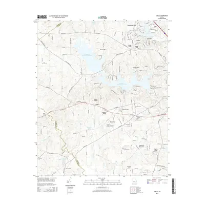
2014 Lizella
Bibb County, GA
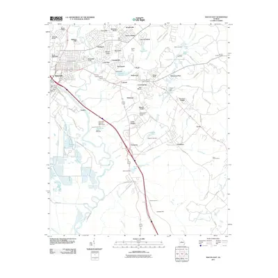
2014 Macon East
Bibb County, GA
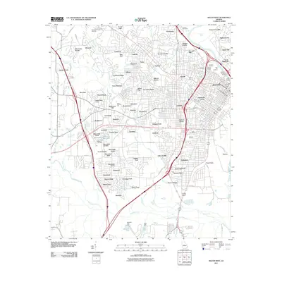
2014 Macon West
Bibb County, GA
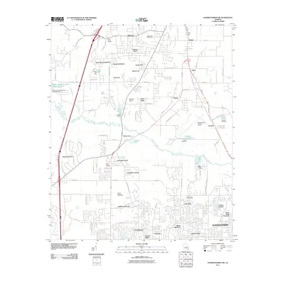
2014 Warner Robins NW
Bibb County, GA
2017 Lizella
Bibb County, GA
2017 Macon East
Bibb County, GA
2017 Macon West
Bibb County, GA
2017 Warner Robins NW
Bibb County, GA
2020 Lizella
Bibb County, GA
2020 Macon East
Bibb County, GA
2020 Macon West
Bibb County, GA
2020 Warner Robins NW
Bibb County, GA
2024 Lizella
Bibb County, GA
2024 Macon East
Bibb County, GA
2024 Macon West
Bibb County, GA
2024 Warner Robins NW
Bibb County, GA