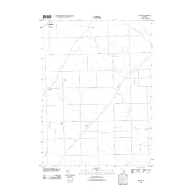
2011 Map of Macon
USGS Topo · Published 2011About this map
Agricultural lands and rural drainage networks define this part of Washtenaw County, where small crossroads settlements and historic burial grounds dot the landscape. The Saline River flows through the northeast corner, while the North Branch Macon Creek and Bear Swamp Creek weave through a grid of section-line roads. This area is anchored by the community of Macon, with its namesake Macon Cemetery, and the northern village of Benton. For those tracing local families, the map provides precise locations for six distinct cemeteries including Saint James Cemetery, Oakhill Cemetery, and Lake Ridge Cemetery. The layout of the road network, including the Ridge Hwy and Britton Hwy, reflects the early surveying patterns of the Michigan territory. The southeastern corner contains the settlement of Cone, situated near the headwaters of the Richardson Drain.
Find a feature on this map
53 named features on this map. Tap any name to fly to it.
Don’t see what you’re looking for? This feature index may not catch every label — zoom into the map to look around manually.
Map Details
Editions of this 2011 Macon Map
This is the sole edition of this map. No revisions or reprints were ever made.
Other maps of this area

1902 · Ypsilanti
USGS Topo · 1:62,500

1904 · Ann Arbor
USGS Topo · 1:125,000

1906 · Ypsilanti
USGS Topo · 1:62,500

1906 · Saline
USGS Topo · 1:62,500

1908 · Ann Arbor
USGS Topo · 1:125,000

1912 · Dundee
USGS Topo · 1:62,500

1926 · Dundee
USGS Topo · 1:62,500

1939 · Blissfield
USGS Topo · 1:62,500
1939 · Dundee
USGS Topo · 1:62,500
1940 · Dundee
USGS Topo · 1:62,500