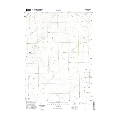
2017 Map of Macon
USGS Topo · Published 2017About this map
Agricultural lands at the intersection of Washtenaw, Lenawee, and Monroe Counties define this rural Michigan landscape. The settlement of Macon serves as a central hub, surrounded by a dense network of country roads including Clinton Macon Rd and Britton Hwy. The area is characterized by its numerous small burial grounds that preserve local family history, such as Benton Cem, Oakhill Cem, and the Lake Ridge Cem located along Ridge Hwy. Waterways like the Saline River and Macon Cr wind through the township, supporting a drainage system that includes Schreeder Brook and Richardson Drain. The small settlement of Cone sits in the southeastern portion of the map, while the Trudeau Airport provides a point of regional aviation. This topography reveals a persistent pattern of rural life and land management where historical farm boundaries and section lines remain the primary organizational structure for the community.
Find a feature on this map
66 named features on this map. Tap any name to fly to it.
Don’t see what you’re looking for? This feature index may not catch every label — zoom into the map to look around manually.
Map Details
Editions of this 2017 Macon Map
This is the sole edition of this map. No revisions or reprints were ever made.
Other maps of this area

1902 · Ypsilanti
USGS Topo · 1:62,500

1904 · Ann Arbor
USGS Topo · 1:125,000

1906 · Ypsilanti
USGS Topo · 1:62,500

1906 · Saline
USGS Topo · 1:62,500

1908 · Ann Arbor
USGS Topo · 1:125,000

1912 · Dundee
USGS Topo · 1:62,500

1926 · Dundee
USGS Topo · 1:62,500

1939 · Blissfield
USGS Topo · 1:62,500
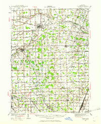
1939 · Dundee
USGS Topo · 1:62,500
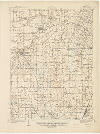
1940 · Dundee
USGS Topo · 1:62,500