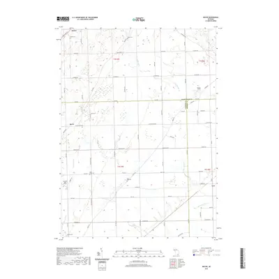
2019 Map of Macon
USGS Topo · Published 2019About this map
Agricultural lands at the intersection of Washtenaw, Lenawee, and Monroe counties define this region, where the Saline River flows through the northeast and Macon Cr winds toward the south. Small settlements like Macon and Benton anchor a grid of rural roads, including Macon Hwy and Ridge Hwy. The area is notably dense with burial grounds for genealogists, featuring several well-marked locations such as Lake Ridge Cem, South Macon Cem, and Oakhill Cem.
Find a feature on this map
69 named features on this map. Tap any name to fly to it.
Don’t see what you’re looking for? This feature index may not catch every label — zoom into the map to look around manually.
Map Details
Editions of this 2019 Macon Map
This is the sole edition of this map. No revisions or reprints were ever made.
Other maps of this area

1902 · Ypsilanti
USGS Topo · 1:62,500

1904 · Ann Arbor
USGS Topo · 1:125,000

1906 · Ypsilanti
USGS Topo · 1:62,500

1906 · Saline
USGS Topo · 1:62,500

1908 · Ann Arbor
USGS Topo · 1:125,000

1912 · Dundee
USGS Topo · 1:62,500

1926 · Dundee
USGS Topo · 1:62,500

1939 · Blissfield
USGS Topo · 1:62,500
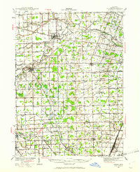
1939 · Dundee
USGS Topo · 1:62,500
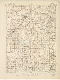
1940 · Dundee
USGS Topo · 1:62,500