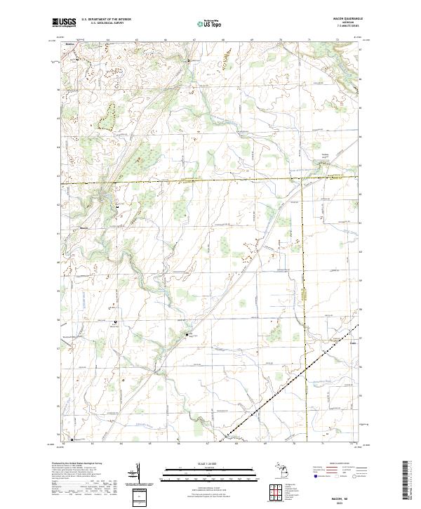
2023 Map of Macon
USGS Topo · Published 2023About this map
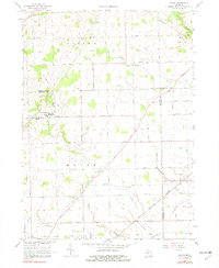
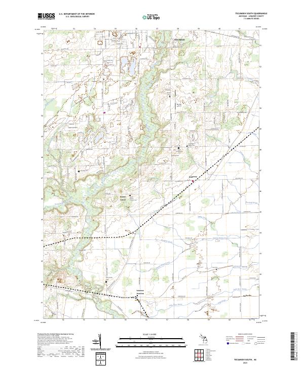
Macon and the surrounding agricultural lands of Lenawee and Washtenaw Counties are defined by a complex network of waterways and drainage systems that support the region's farming heritage. The landscape is carved by the Saline River, North Branch Macon Creek, and Bear Swamp Creek, while smaller tributaries like Schreeder Brook and Richardson Drain reveal the extensive efforts to manage the low-lying terrain. This drainage network, including the Springbrook Drain, highlights the transition of the marshy wetlands into productive Michigan farmland.
Find a feature on this map
69 named features on this map. Tap any name to fly to it.
Don’t see what you’re looking for? This feature index may not catch every label — zoom into the map to look around manually.
Map Details
Editions of this 2023 Macon Map
This is the sole edition of this map. No revisions or reprints were ever made.
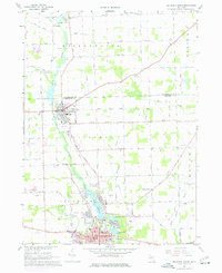
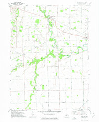
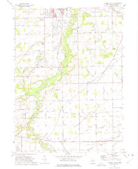
Historical Maps of York Charter Township Through Time
14 maps found
1956 North Manitou
Lenawee County, MI
1956 South Fox Island
Lenawee County, MI
1962 Rome Center
Lenawee County, MI
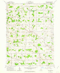
1967 Macon
Lenawee County, MI
1967 Tecumseh North
Lenawee County, MI
1972 Palmyra
Lenawee County, MI
1972 Tecumseh South
Lenawee County, MI
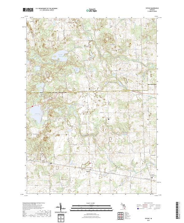
1980 Tipton
Lenawee County, MI
2023 Macon
Lenawee County, MI
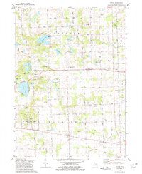
2023 Palmyra
Lenawee County, MI
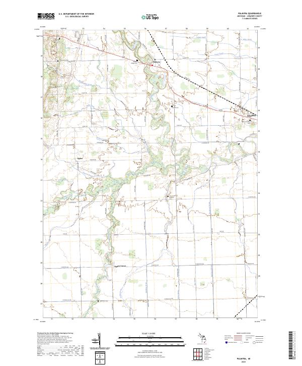
2023 Rome Center
Lenawee County, MI
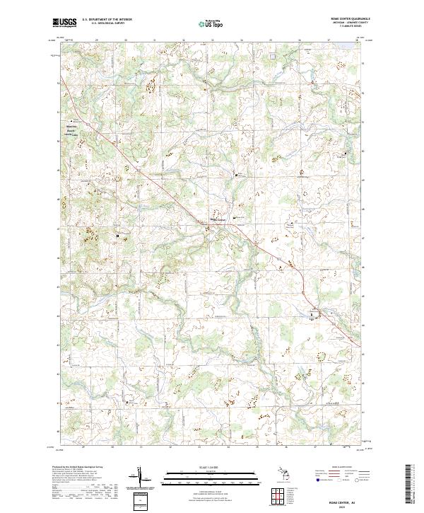
2023 Tecumseh North
Lenawee County, MI
2023 Tecumseh South
Lenawee County, MI
2023 Tipton
Lenawee County, MI
Featured Locations
- Ridgeway Township, MI
- Milan Township, MI
- Saline Township, MI
- York Charter Township, MI
- Macon, Macon Township