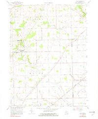
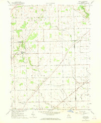
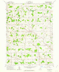
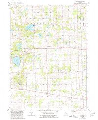
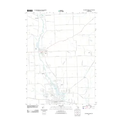
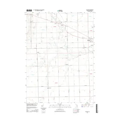
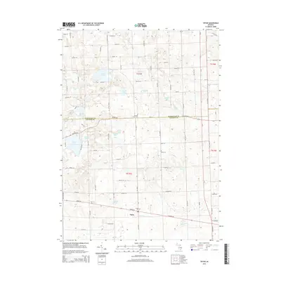
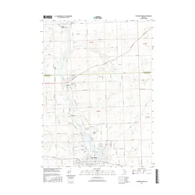
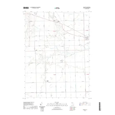
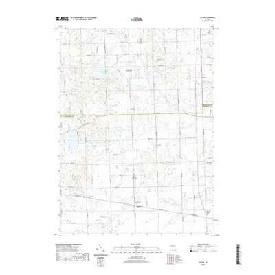
1967 Map of Macon
USGS Topo · Published 1982About this map
Boysville of Michigan sits at the intersection of Clinton Road and Macon Road, serving as a central landmark in this agricultural landscape spanning the borders of Washtenaw, Lenawee, and Monroe Counties. The terrain is defined by the winding course of the Saline River in the northeast and the multiple branches of Macon Creek that drain the central plains. This late 1960s environment shows a well-established rural grid where family history is anchored by numerous local burial grounds, including Benton Cem, Oakhill Cem, and Welch Cem.
Find a feature on this map
49 named features on this map. Tap any name to fly to it.
Don’t see what you’re looking for? This feature index may not catch every label — zoom into the map to look around manually.
Map Details
Editions of this 1967 Macon Map
2 editions found
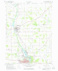
Historical Maps of York Charter Township Through Time
38 maps found
1956 North Manitou
Lenawee County, MI
1956 South Fox Island
Lenawee County, MI
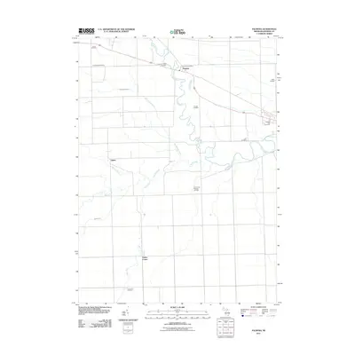
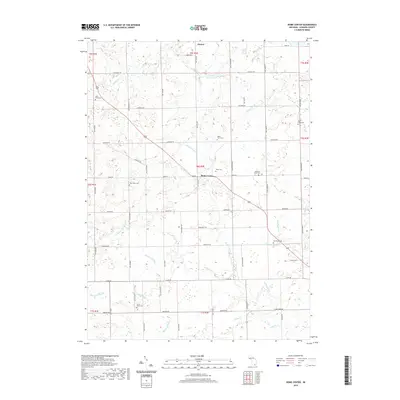
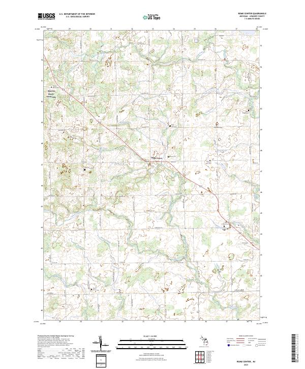
1962 Rome Center
Lenawee County, MI
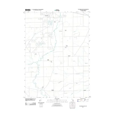
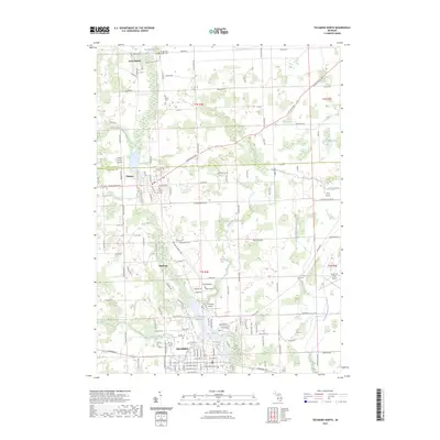
1967 Macon
Lenawee County, MI
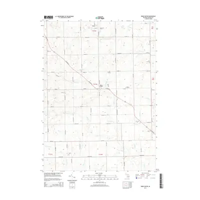
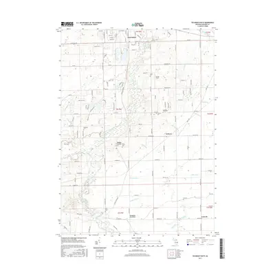
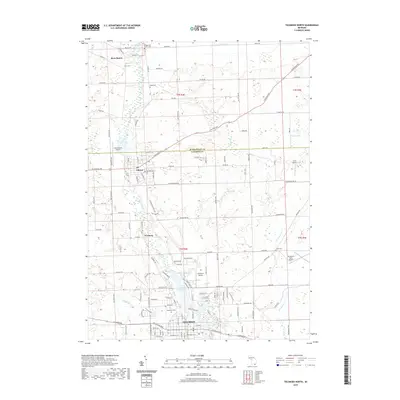
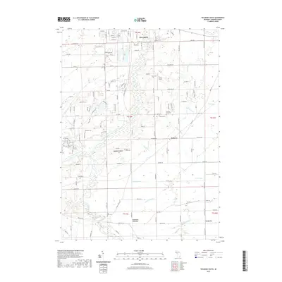
1967 Tecumseh North
Lenawee County, MI
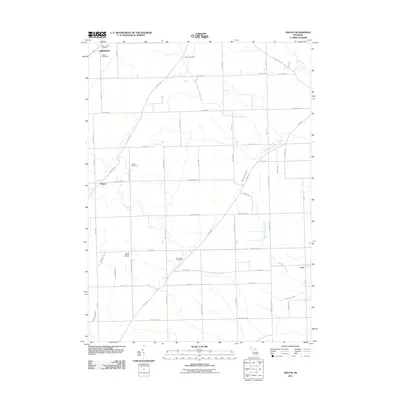
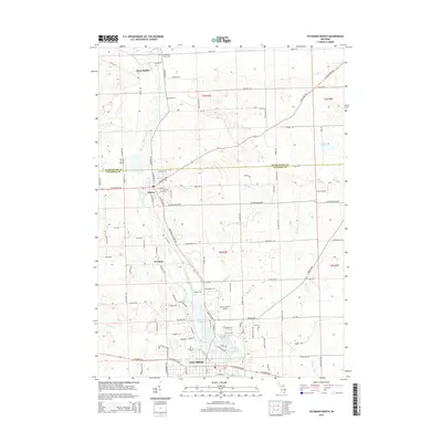
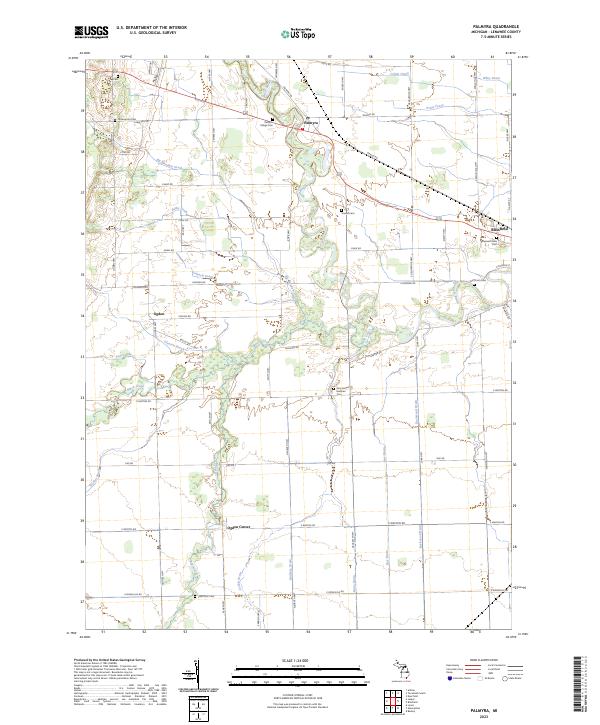
1972 Palmyra
Lenawee County, MI
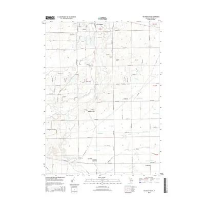
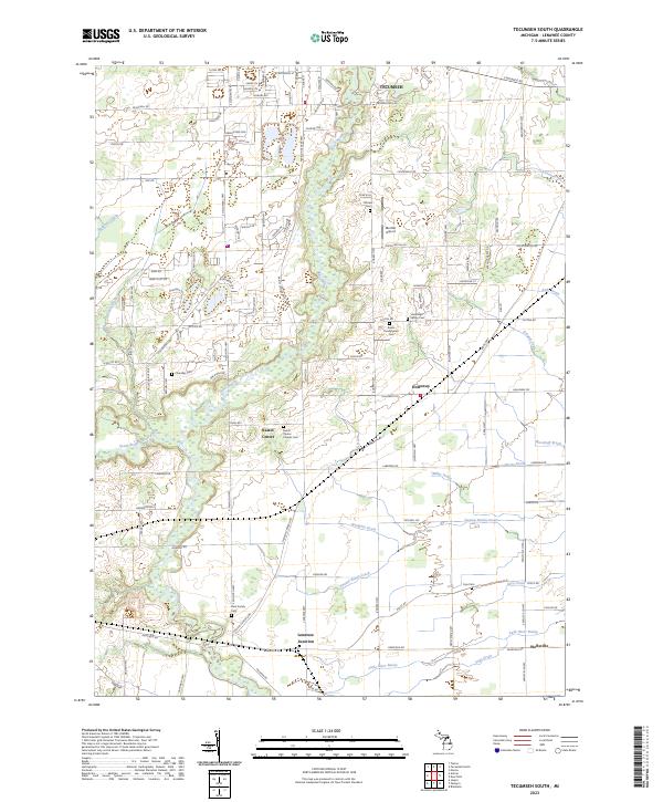
1972 Tecumseh South
Lenawee County, MI
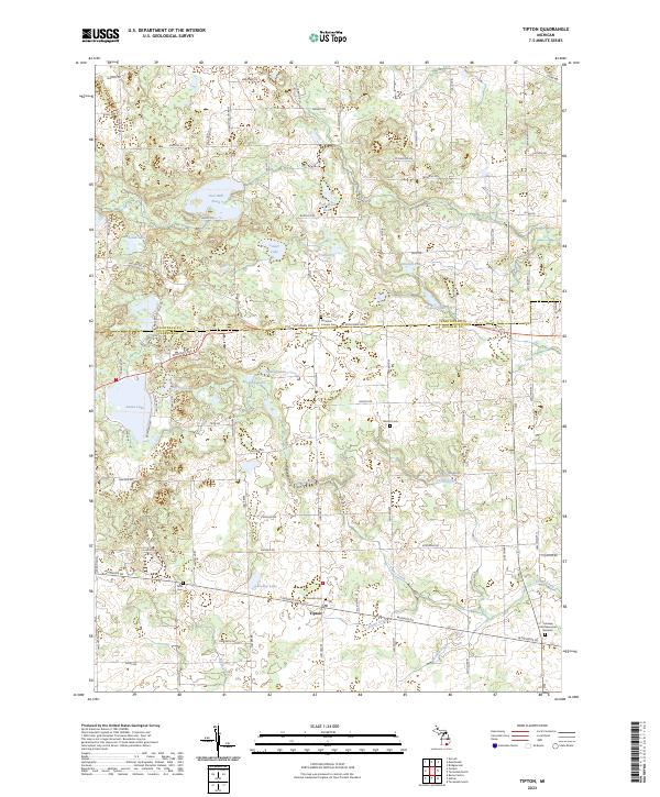
1980 Tipton
Lenawee County, MI
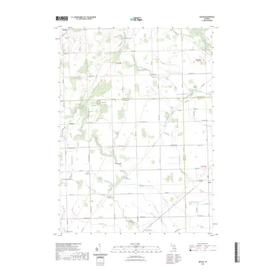
2011 Macon
Lenawee County, MI
2011 Palmyra
Lenawee County, MI
2011 Rome Center
Lenawee County, MI
2011 Tecumseh North
Lenawee County, MI
2011 Tecumseh South
Lenawee County, MI
2011 Tipton
Lenawee County, MI
2014 Macon
Lenawee County, MI
2014 Palmyra
Lenawee County, MI
2014 Rome Center
Lenawee County, MI
2014 Tecumseh North
Lenawee County, MI
2014 Tecumseh South
Lenawee County, MI
2014 Tipton
Lenawee County, MI
2017 Macon
Lenawee County, MI
2017 Palmyra
Lenawee County, MI
2017 Rome Center
Lenawee County, MI
2017 Tecumseh North
Lenawee County, MI
2017 Tecumseh South
Lenawee County, MI
2017 Tipton
Lenawee County, MI
2019 Macon
Lenawee County, MI
2019 Palmyra
Lenawee County, MI
2019 Rome Center
Lenawee County, MI
2019 Tecumseh North
Lenawee County, MI
2019 Tecumseh South
Lenawee County, MI
2019 Tipton
Lenawee County, MI
2023 Macon
Lenawee County, MI
2023 Palmyra
Lenawee County, MI
2023 Rome Center
Lenawee County, MI
2023 Tecumseh North
Lenawee County, MI
2023 Tecumseh South
Lenawee County, MI
2023 Tipton
Lenawee County, MI
Featured Locations
- Macon Township, MI
- Milan Township, MI
- Saline Township, MI
- York Charter Township, MI
- Macon, Macon Township